
Selfie route in Magaluf: photo stands, web app and a bit of island everyday life
How the Magaluf Photo Route App Works
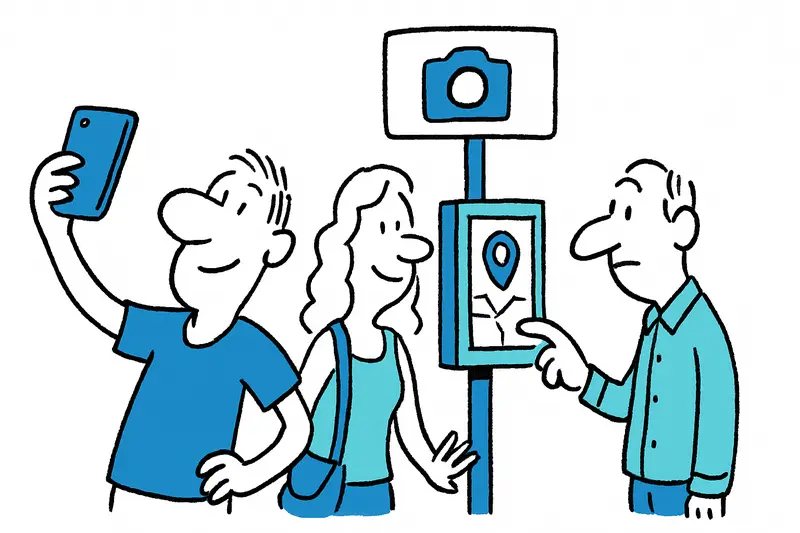
The Magaluf route app opens from a QR code or link and guides visitors between photo points with local context.
Answer
How does the Magaluf selfie route web app work?
More questions on this topic
Related follow-up questions from the same article, collected in one place.
What is the new selfie route in Magaluf?
It is a short photo route with smartphone stands and a companion web app in Magaluf.
Where are the photo stands in Magaluf located?
They are on the seafront and the Passeig Calvià, with more planned near the Torrenova tower.
Why did Magaluf add photo stands for visitors?
The stands are meant to support sustainable tourism and spread visitors more evenly.
When is the best time to use the Magaluf photo route?
Morning is often calmer, while later hours show more of Magaluf’s promenade life.
Is the photo route in Magaluf suitable for families and people with prams or wheelchairs?
Yes, accessibility is intended to be part of the design for prams and wheelchairs.
What can you see along the Magaluf selfie route besides the sea?
It includes views of Illa de Sa Porrassa, Torrenova, and Possessió de Cas Saboners.
How is the Magaluf photo route connected to sustainable tourism in Mallorca?
It encourages visitors to discover Magaluf more thoughtfully and respectfully.
Similar notes
Discover more interesting content

Can Cap de Bou

Townhouse Lleo 72
