Short late summer — then a weather turnaround: What Mallorca needs to know now
An Atlantic low is pushing clouds and rain toward Mallorca. For now warm days remain, but at the start of the week a noticeable temperature drop is expected. What this means for island residents, tourism and boats.
A short late summer — then noticeably cooler: Is Mallorca facing a genuine weather turnaround?
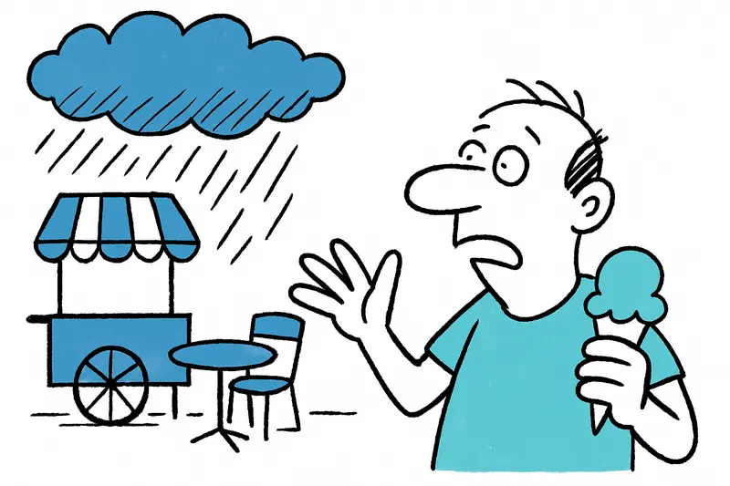
The island is letting us enjoy one last slice of summer, as reported in Late summer once more, then clouds: Mallorca between beach café and rain jacket. Until the weekend thermometers in many places will still climb to 28 to 32 °C. Anyone who walked along the Passeig Marítimo last night heard the seagulls, the clinking of espresso cups and the soft whirr of mopeds — T-shirts, open café terraces, the ice cream carts still on duty. But in the early morning hours a fine mist is increasingly settling over the sea; summer feels a little worn.
The key question
Will the approaching Atlantic low be just a short intermezzo — or does it mark a noticeable shift in Mallorca's September climate? That is the question occupying meteorologists, boat owners and market vendors alike.
What the models say — and what they don't
An area of low pressure is pushing from the northwest across Spain toward the southeast, and the first cloud bands are expected to arrive here as early as Sunday. On Monday, when the astronomical autumn begins, models forecast the most pronounced impact: rain and a temperature drop of 3–4 °C are possible, a development also noted in Mild interlude — then rain: Atlantic low brings fresh air to Mallorca. But caution: forecasts for the coming week carry uncertainties. The exact track and intensity can still change — a weather forecast is not a law book, more a map with caveats.
Concrete local impacts
Rain does not automatically mean storm. In most places it will likely be showers with windier phases. The Serra de Tramuntana will bring light morning fog, and the narrow mountain roads will become more slippery. On the coast, for example in Portixol or at Playa de Palma, people will feel the cooling first: a thin jacket in the morning, an open window in the afternoon. Fishermen and small boat owners should use the coming weekend to check lines and protect electronics — a precaution that often makes the difference.
What is missing in the public discussion
We talk a lot about temperatures and rainfall amounts, but less about the local consequences: How do small hotels and holiday renters react to short showers? Can markets and outdoor restaurants adapt flexibly? What is the situation with drinking water reservoirs after a dry summer — can a few days of rain bring noticeable relief or will they remain largely unaffected? And what about power and mobile infrastructure during heavy rains in narrow valleys?
Another often overlooked point: short, intense showers may reduce the short-term wildfire risk, but can increase erosion on exposed slopes. Farmers and winemakers in areas like Felanitx and Santanyí therefore watch the rainfall closely — heavy rain is not without consequences for young vines or freshly ploughed fields.
Concrete opportunities and recommendations
There are practical lessons to be learned from any weather situation. Our recommendations:
1. Adapt local warnings: Municipalities should link AEMET situation reports with local advice (e.g. harbor warnings in Portixol, road advisories in mountain villages).
2. Flexible offers for tourists: Cafés, small hotels and landlords could quickly provide weatherproof options — covered areas, moved activities, information sheets for guests.
3. Boat owners and fishermen: Now is the time to check lines again, protect sensitive electronics and check the weather app daily.
4. Agriculture and fire protection: Authorities and farmers should measure rainfall amounts and monitor water storage; light rain helps, but as long as soils are very dry the risk of erosion and runoff remains.
Life on the island remains adept at improvisation
Mallorcans are used to switching quickly. Between market cries in Inca, the church bells in Sineu and the honking in Palma's harbor there is usually a pragmatic solution: close the windows, pull Plan B out of the drawer, and enjoy the smell of wet stone — yes, that can be conciliatory. In a few days it may become sunnier again if the low moves on. Or we may experience a genuine harbinger of autumn.
We are keeping an eye on developments and urge: local warning chains should not only become active in the morning when the rain is already here. For current measurements and official warnings, AEMET's notices remain authoritative. Until then: check the weather app, pack a thin jacket — and make the most of the last warm afternoons on the terrace.
Frequently asked questions
Will Mallorca stay warm this weekend or is cooler weather coming soon?
How much will temperatures drop in Mallorca when the weather changes?
Will it rain in Mallorca at the start of the week?
Is it still beach weather in Mallorca if the forecast turns unsettled?
What should boat owners and fishermen in Mallorca do before the weather turns?
Is the Serra de Tramuntana more slippery when it rains in Mallorca?
Does rain in Mallorca help the reservoirs after a dry summer?
What do farmers and winemakers in Mallorca watch during a late-summer rain spell?
Similar News
Shock over Palma: Alcohol, Aggressions and the Question of Responsibility on Board
On a flight from Edinburgh to Palma a dispute between an apparently drunk passenger and his partner escalated. The crew ...
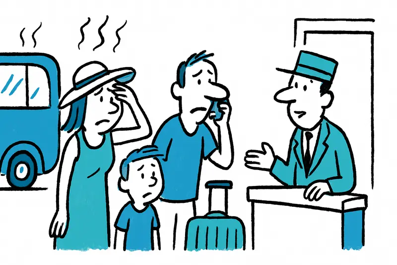
When the Asphalt Shimmers: Why Mallorca Needs to Be Better Prepared for the New Heatwave
The announced heatwave will again bring temperatures up to 40 °C and raises questions about protection, infrastructure a...
When you can really cancel your Mallorca vacation for free due to heat
Heatwaves are no surprise on Mallorca. But heat warnings alone usually do not suffice for free cancellation. A reality c...
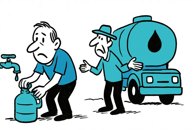
Summer Heat: A Reality Check on Water Shortages in s'Horta and Deià
Nightly water shutdowns in s'Horta, daily tanker trucks in Deià — helpful emergency measures or a symptom of a bigger pr...
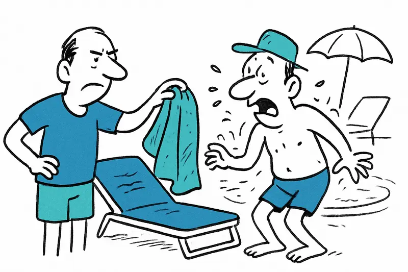
Sunbed war at the hotel pool: When a "prank" becomes dangerous
In Magaluf a 31-year-old Briton reportedly expressed his frustration over early sunbed reservations in an unauthorized w...
More to explore
Discover more interesting content

Boat Tour with BBQ along Es Trenc Beach

Private transfer from Mallorca Airport (PMI) to Pollensa
