
After the Extreme Storm: Where on Mallorca the Most Rain and Wind Fell — and What's Missing Now
Flood risk maps: a tool for Mallorca
Public flood maps at the municipal level could improve Mallorca’s prevention and response to heavy rain.
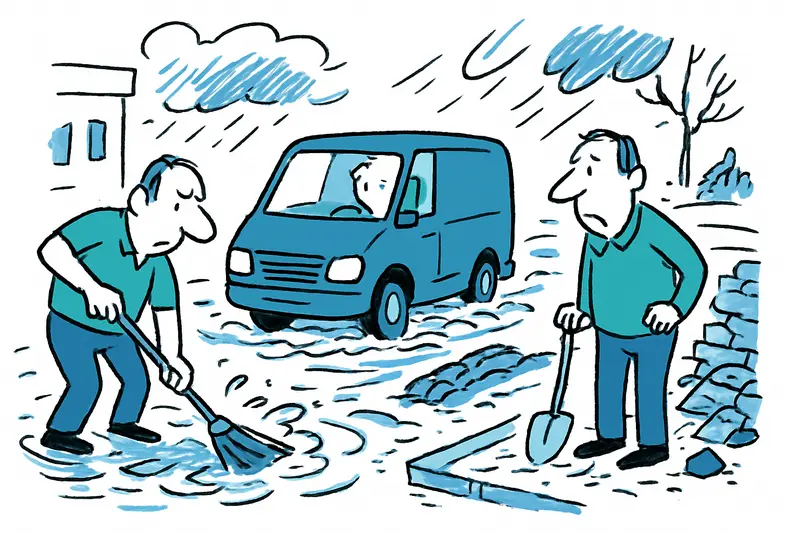
Answer
Would publicly available flood risk maps help Mallorca communities and visitors?
More questions on this topic
Related follow-up questions from the same article, collected in one place.
How prepared is Mallorca for localized heavy rain events?
Localized rain requires ongoing maintenance and clear warnings.
Why did Manacor flood so much while Calvià saw almost no rainfall?
Different local drainage and terrain led to uneven flooding.
What were the rainfall and wind measurements during the Mallorca storm?
Rainfall ranged widely across towns; wind gusts were strong in several locations.
What concrete steps are proposed to reduce flood risk in Mallorca?
Clean drainage, risk maps, retention basins, better warnings, and drills are proposed.
How can tourists stay safe and informed during storms in Mallorca?
Know emergency numbers and follow official warnings in multiple languages.
What building or drainage changes could reduce flood peaks on Mallorca?
Retention basins and permeability in new builds can help.
Why is it important to act now after this storm in Mallorca?
Data exists, but turning it into prevention is urgent.
Similar notes
Discover more interesting content

Boat Tour with BBQ along Es Trenc Beach

Private transfer from Mallorca Airport (PMI) to Pollensa
