New Consell map app shows Mallorca from a bird's-eye view since 1968
Using Mallorca Aerial Maps for Teaching and Research
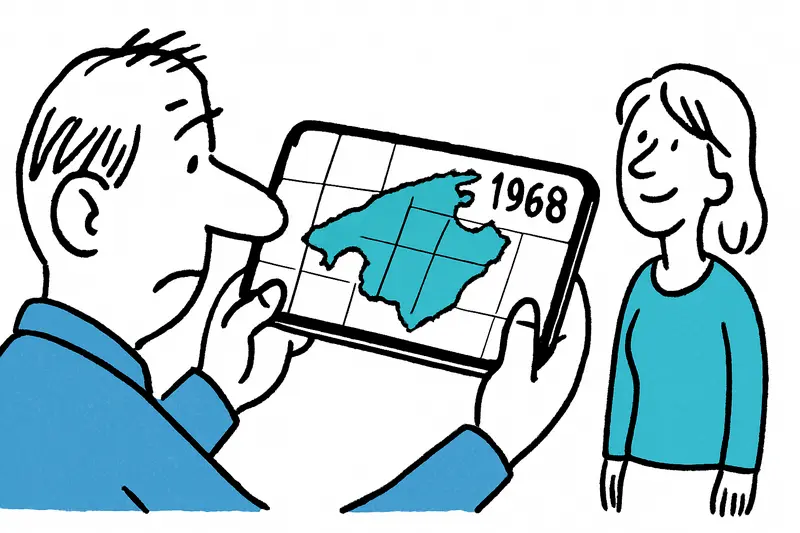
Mallorca’s new aerial map viewer helps with school projects, local history, and visual research on land use and development.
Answer
How can I use aerial maps in Mallorca for school projects or local research?
More questions on this topic
Related follow-up questions from the same article, collected in one place.
How can I compare old and current aerial photos of Mallorca?
The new Consell viewer lets you compare historic and current aerial photos of Mallorca side by side.
Is the Mallorca aerial map viewer free to use on a phone?
Yes, it is free, browser-based, and works on smartphones.
What can I do with the new Mallorca map app besides looking at old photos?
You can measure, compare, and export map views as PDF.
How has Playa de Palma changed over time according to Mallorca’s new map viewer?
The map viewer shows how Playa de Palma’s coastline and surroundings have changed over time.
Can I use the Mallorca map viewer to look at Port de Sóller or the Tramuntana?
Yes, it can help you compare older and current views of Port de Sóller and the Tramuntana.
Can the Mallorca aerial map help with coastal erosion and green space studies?
It can help document coastal erosion and changes in green space.
Why is Consell de Mallorca’s new aerial map useful for residents?
It helps residents see how their neighborhood has changed and discuss local development.
Similar notes
Discover more interesting content

Boat Tour with BBQ along Es Trenc Beach

Private transfer from Mallorca Airport (PMI) to Pollensa
