Storm alert on Friday: Is Mallorca prepared for heavy rain?
Aemet warns of heavy showers and thunderstorms on Friday afternoon — especially in the east and north. A look at risks, previously little-noticed problems and what municipalities, markets and residents should do now.
Storm alert on Friday: Is Mallorca prepared for heavy rain?
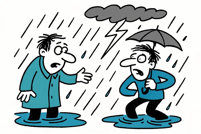
Weather service Aemet warnings for the Balearic Islands have been issued for the coming Friday afternoon: between about 2 and 8 pm, heavy showers and thunderstorms are possible in parts of the island, locally with up to 30 liters per square meter in one hour. That is enough for roads to become quickly soaked, underpasses to overflow and markets to have to improvise.
The key question
The central question is: Is Mallorca sufficiently prepared for such localized, intense rainfall events? At first glance many things look routine — weather reports here, warning notices there. But the devil is in the details: drainage capacity, market stalls, narrow village streets and temporary workplaces are often weak points.
Where it will be particularly tense today
Areas especially affected are the interior and the east, north and northeast — places like Manacor, Artà, Capdepera and the higher elevations should be particularly alert today. In Palma it may still look pleasant at times; ten kilometers further east a thunderstorm can already pass through. On the coast short, gusty winds can surprise, making fishermen's engines more audible while the azulejos on the squares pick up the first drumming of the rain; local coverage is available at Alerta meteorológica el viernes: ¿Está Mallorca preparada para las lluvias intensas?.
What often gets too little attention in public discussion
We hear warnings, get push notifications — but three aspects are rarely discussed in enough depth:
1) Small-scale infrastructure: The drainage systems in many villages are not designed for extreme, short-duration rainfall. Blocked drains, leaves from olive trees and construction work can turn a heavy shower quickly into a local flood.
2) Markets and informal work: Weekly markets like the Mercat de l’Olivar or the markets in the east are flexible but often not weatherproof. Traders with cardboard boxes and makeshift stalls lose goods if there are no waterproof protections available.
3) Information gaps for tourists: Many visitors rely on Instagram rather than weather warnings. Clear, visible information in front of car rentals, ports and popular beaches is often missing.
Concrete opportunities and solutions
Severe weather cannot be prevented, but its impacts can be reduced. Some pragmatic suggestions that could be implemented quickly at local level:
Short term: Municipalities should check drains and gutters before storms; market organizers should have waterproof tarpaulins and weighted sandbags ready; car parks along riverbeds should be temporarily closed. A simple new detail: QR-code info stations at ferry piers and market stalls with current warnings — more eyes informed.
Medium to long term: Invest in nature-based retention areas, better maintenance of road drainage and regular risk checks in the municipalities of the Serra de Llevant. Training for market operators and local tourism businesses should also be included — how to quickly and safely pack olive oil bottles, which temporary covers hold up to the wind?
Practical tips for the afternoon
A few practical pieces of advice anyone can implement immediately: check warnings on your smartphone shortly before setting off, plan extra time, do not park your car in low underpasses, use waterproof bags for shopping and secure market goods with stretch wrap. If you are on a bicycle or scooter: ride more slowly, keep distance, watch out for manhole covers — and preferably keep a lightweight rain protection within reach.
Why forecasts are so difficult
Nature does what it wants: a thunderstorm is small-scale and fast. Aemet warns broadly because the exact path and intensity are hard to predict. For the island this means: pay attention to local differences. While cafés in the city may still be setting tables outside, you can already hear the distant rumble of thunder inland.
Outlook
On Saturday the situation calms down considerably; after a cloudy morning only isolated showers are possible, and temperatures remain warm at around 28–31 °C. Sunday is expected to bring more sun again — good news for market visitors and beachgoers. Nevertheless: such episodes will likely become more frequent, as noted in coverage of earlier warnings like Yellow Storm Warning: How Well Is Mallorca Prepared for Heavy Rain?. The island's opportunity is to build routine: not only reacting, but planning ahead.
No panic, but respect for the weather. Those who stay alert today protect themselves, their purchases and, ideally, their neighbor's house. And when the sun comes back out later, you can enjoy the scent of wet earth and the gentle patter on terracotta roofs with a little less worry.
Frequently asked questions
Will it rain heavily in Mallorca on Friday afternoon?
Which parts of Mallorca are most likely to be affected by the storm?
Can it be sunny in Palma while it storms elsewhere in Mallorca?
Is Mallorca safe to drive in during heavy rain?
What should I do in Mallorca if I have a market visit planned during a storm warning?
What is the weather like in Mallorca after the storm passes?
What are the best practical tips for rain in Mallorca?
Why are Mallorca storms so hard to predict?
Similar News

Shock over Palma: Alcohol, Aggressions and the Question of Responsibility on Board
On a flight from Edinburgh to Palma a dispute between an apparently drunk passenger and his partner escalated. The crew ...
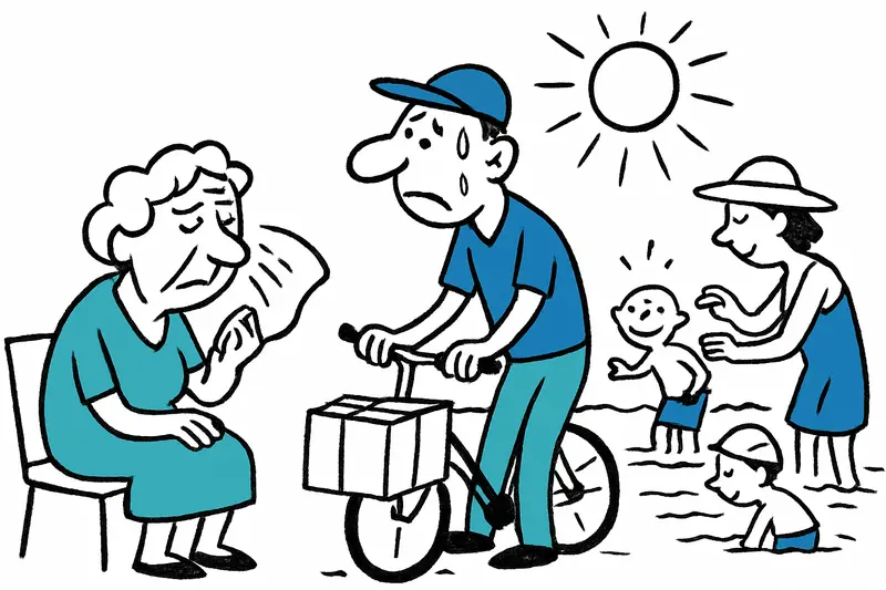
When the Asphalt Shimmers: Why Mallorca Needs to Be Better Prepared for the New Heatwave
The announced heatwave will again bring temperatures up to 40 °C and raises questions about protection, infrastructure a...
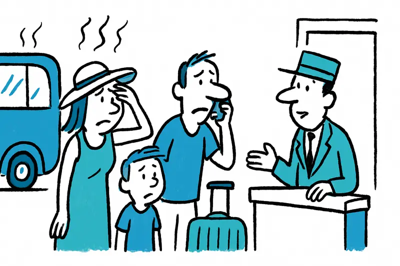
When you can really cancel your Mallorca vacation for free due to heat
Heatwaves are no surprise on Mallorca. But heat warnings alone usually do not suffice for free cancellation. A reality c...

Summer Heat: A Reality Check on Water Shortages in s'Horta and Deià
Nightly water shutdowns in s'Horta, daily tanker trucks in Deià — helpful emergency measures or a symptom of a bigger pr...

Sunbed war at the hotel pool: When a "prank" becomes dangerous
In Magaluf a 31-year-old Briton reportedly expressed his frustration over early sunbed reservations in an unauthorized w...
More to explore
Discover more interesting content

Boat Tour with BBQ along Es Trenc Beach

Private transfer from Mallorca Airport (PMI) to Pollensa
