Third-warmest summer since 1961: More tropical nights, more questions for Mallorca
Aemet reports the third-warmest summer since 1961 — and a record number of tropical nights. What does this mean for cities, visitors, agriculture and our waters? A look at risks, overlooked consequences and practical responses for the next storm.
A summer that was not only hot but also barely cooled
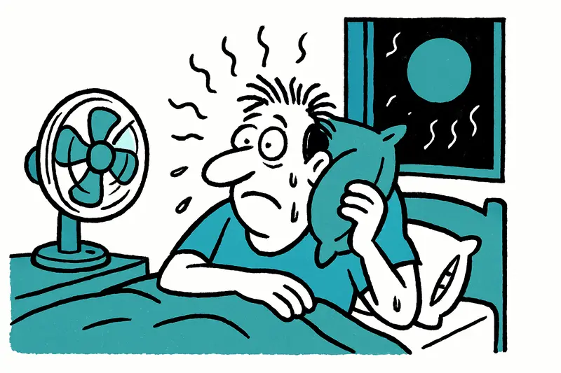
The summer in Mallorca will be remembered: short heatwave, heavy air in the evenings and nights that did not cool down. The Spanish weather service Aemet classifies the past months as the third-warmest since 1961. Even more striking: a record number of tropical nights — nights when the thermometer does not fall below 20 °C. The buzzing of cicadas, the honk of a moped late on the Paseo Marítimo and the smell of sea and sunscreen — none of that changed the fact that the air remained sticky and many Mallorcans slept poorly.
The central question: Are we prepared for consistently warmer nights?
The question sounds simple but has consequences in many areas: the health of older people, cooling of homes without air conditioning, water balance for agriculture and horticulture, strain on the power grid during peak times. So far public discussion often focuses on daytime temperatures and forest fire risk. Persistent warmth at night, however, is less often addressed — even though it reduces the potential for recovery and increases cooling costs.
What is barely on the radar
There are aspects often missing from the debate: tropical nights promote mold growth in poorly ventilated houses and apartments, increase reproduction rates of certain insects, and make nighttime rest nerve-wracking for many. For workers who must start early — fishermen, bakers, construction workers — warm nights mean less restorative sleep and a higher likelihood of accidents and mistakes. Nighttime air quality also suffers: less temperature drop means less mixing, and ozone and fine particle concentrations can rise locally.
Concrete risks for Mallorca
On the old town terraces you can see dried oleanders, in rural areas thinning olive trees and, near the coast, plants that tolerate salt but suffer from prolonged drought. In places like Illetes and on the Playa de Palma the evening breeze was often absent — the typical sea coolness that one expects set in much less frequently. At the same time heat increases demand for water and electricity: air conditioners run longer, wells are used more intensively. The result can be local supply bottlenecks — especially in municipalities with aging infrastructure.
Warning of sudden storms — and how to prepare
Aemet warnings are current: for the coming night and the following day many areas are on orange alert for severe thunderstorms and heavy rain. Islanders know these tipping events — long drought followed by intense downpours: flooded road depressions in Palma, flash floods in Tramuntana streams, palm trees toppled on promenades. Small preparations help: secure balcony plants, check roof windows, clean drains, and avoid parking vehicles in hollows.
Concrete measures and opportunities
Instead of only reacting in the short term, municipalities and citizens should tackle a few points: install more nocturnal sensors for temperature, humidity and water levels; plan urban green spaces to provide shade and evaporative cooling; set up local cooling stations or “cool rooms” in community facilities. Maintenance crews for gutters and drain cleaning should be more readily available during peak times. For agriculture, subsidy programs for shading, efficient irrigation and drought-resistant varieties could make sense. And not least: a clear information campaign for tourists so they know how to act during tropical nights and sudden storms.
Practical tips for the next 48 hours
If you plan to be out now: check the current forecast, do not park your car in low-lying hollows, avoid riverbeds and temporary streams after heavy rain, and wear sturdy footwear when hiking in the Serra de Tramuntana. At home: secure balcony pots, close roof windows, ventilate electrical rooms if possible. For elderly neighbors: call once to check whether they have enough drinking water and a working way to cool down.
This summer has shown: Mallorca is experiencing not only warmer days but also warmer nights. The responses must be local, practical and long-term. I will keep monitoring and report if warnings or closures change.
Frequently asked questions
Why are Mallorca’s nights staying so warm this summer?
What is a tropical night in Mallorca?
How do warm nights affect sleep and health in Mallorca?
What should I do in Mallorca before a sudden thunderstorm or heavy rain?
Is it safe to hike in the Serra de Tramuntana during hot weather?
Why do places like Playa de Palma and Illetes feel hotter on summer evenings?
How can Mallorca homes cope better with tropical nights?
What local problems can long periods of heat create in Mallorca?
Similar News

Why the Reggaeton Beach Festival Halted the 2026 Tour — a Reality Check for Mallorca
The entire Reggaeton Beach Festival 2026 tour was cancelled. What does this mean for organizers, crews and island touris...

Turquoise Water in Palma's Sa Riera: A Little Caribbean Feeling in the Old Town
The Sa Riera in Palma briefly showed an unusually turquoise tint on Thursday. Cause: cleaning of the streambed and the d...
Court Rules for Owner: No Lease for British Resident in Son Ferrer
The court in Palma ruled in favor of the man who bought a house in Son Ferrer at a forced auction. The resident could no...

Court in Palma waives 57,269 euros: Mallorcan couple starts anew in Germany
A court in Palma has waived 57,269 euros of debt for a couple who moved to Germany. An example of how Spain's "segunda o...
On-board emergency in Ibiza: When is a flight still reasonable?
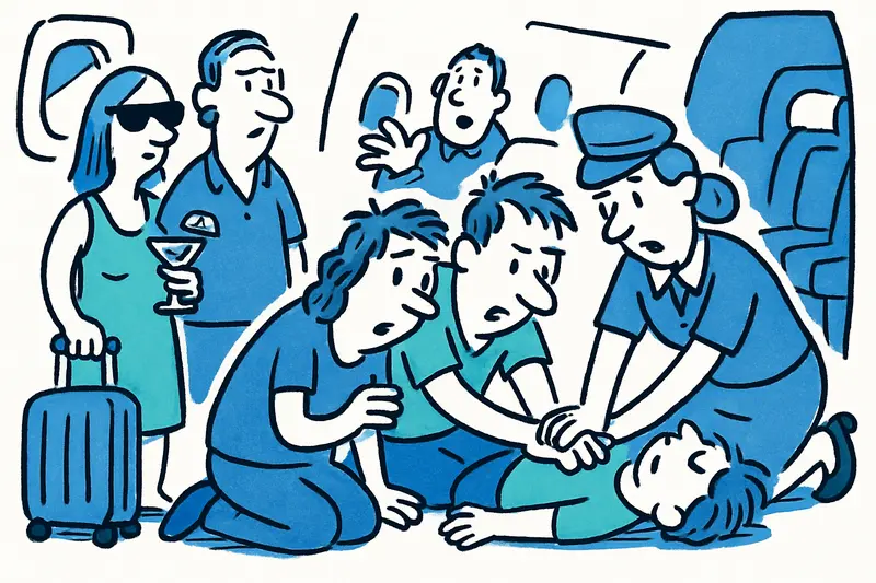
A baby lost consciousness after landing; the crew performed resuscitation and emergency services took the child to hospi...
More to explore
Discover more interesting content

Boat Tour with BBQ along Es Trenc Beach

Private transfer from Mallorca Airport (PMI) to Pollensa
