Atlantic Upper Low 'Alice': How Prepared Is Mallorca for Thunderstorms, Hail and Heavy Rain?
An Atlantic upper low — called 'Alice' by some meteorologists — is bringing thunderstorms, hail and heavy rain. Why these days are more precarious, what threats are present locally, and how Mallorca's towns and people should respond.
Unsettled conditions are heading for the island
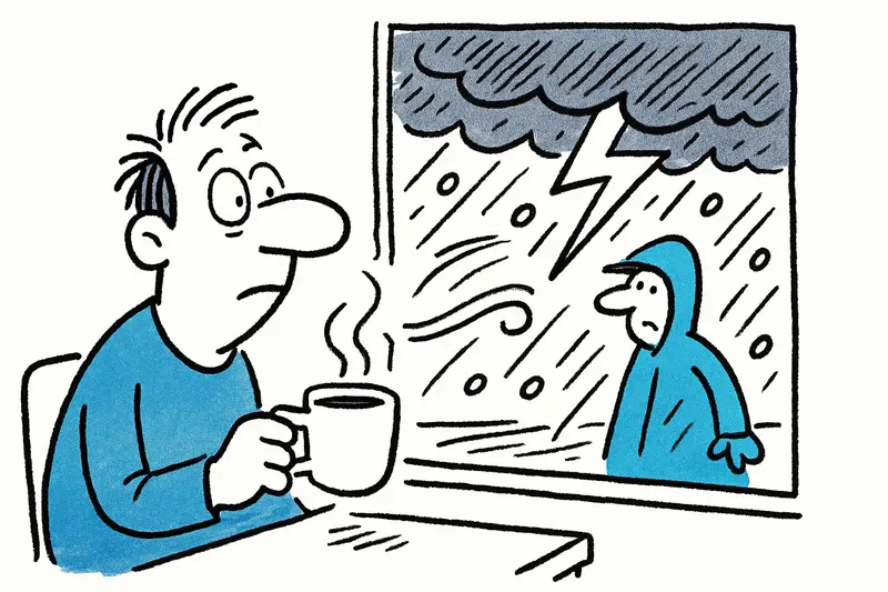
I'm sitting with a cup of coffee in Palma, listening to the rattling of the shutters and the slap of the first gusts along the Passeig Marítimo. An Atlantic upper low, which some call “Alice”, is steering toward the Balearics, as detailed in Depression "Alice" – storms, hail and intense rains. In short: changeable, often wet, locally intense. The question is: How well is Mallorca prepared for such suddenly occurring heavy-rain events?
Why this low behaves differently
This is not a simple Atlantic storm but an upper-level low. These systems are notorious for changing wind directions and precipitation patterns very quickly. The result: very different conditions over short distances. While the cliffs at Port d'Andratx resist the wind, streams in the valleys of the Serra de Tramuntana can swell within an hour. To locals that sounds familiar, but precisely that makes the situation treacherous, as other reports on new storm fronts over Mallorca have shown.
Specific local risks
Rain amounts will vary greatly locally. In lower areas of Mallorca, flooding is a threat; on narrow coastal roads, flash floods can form rapidly. Short, intense thunderstorms will bring hail to the suburbs of Palma and to agricultural areas around Selva. The wind will shift to east to northeast and can blow in gusts at exposed spots — for example along the Passeig Marítimo or the cliffs near Andratx. This morning I saw police at the harbor advising boat owners — the concern is real and tangible, echoed in the weather warning for heavy rain in Mallorca (100 liters in 12 hours).
What is often overlooked
Public discussions usually focus on roads and boats. Less noticed are the sewers in older neighborhoods, agriculture's sensitivity to hail damage, and the role of small volunteer protection groups in villages. Many municipalities have outdated storm drains or insufficient retention areas. When manhole covers are foaming and water presses through narrow lanes, it becomes clear how localized the problems are — and how varied the responses.
Practical measures — what municipalities should do
There are concrete steps that can reduce risk: targeted cleaning of street drains before storm periods, temporary closures of vulnerable access points to waterways, rapid deployment of mobile pumps, and coordination with fire brigades and harbor authorities. For port areas, regulated berthing in protected marinas and clear communication chains are important. Municipal warning apps work well when linked to clear behavioral guidelines — there is no reason to panic at every alert, but stay attentive, as lessons from analysis of persistent rain and infrastructure impacts in Mallorca underline.
Tips for residents and visitors
Short term: Keep a flashlight ready, park vehicles on higher ground if possible, and leave boats in safe harbors. Avoid walks on steep slopes and narrow coastal paths. Do not drive through flooded underpasses during heavy rain — pumps often cannot provide immediate relief.
Preventative: Check roofs and gutters, secure loose items on terraces, and keep insurance documents accessible. Farmers should cover vulnerable crops and beekeepers secure their hives. After the rain: take photos, document damage, and inform the municipality if drains are clogged.
Outlook and opportunities
The uncertain phase is expected, according to forecasts, to last from late Wednesday evening through midweek, with temperatures remaining mild. Such events are unpleasant but also provide an opportunity to identify and fix infrastructural weaknesses. In the long term, targeted investments in retention basins, renaturalized stream channels and modern sewage systems could make Mallorca more resilient — better protected against weather extremes without destroying the island's character.
For now: stay alert, check weather apps regularly, and plan sensibly. And yes, a bit of patience helps — the island knows these October days. Authorities will provide updates if things change, and until then smart preparation is the best defense against “Alice”.
Frequently asked questions
How severe is the storm risk in Mallorca with the Atlantic low 'Alice'?
Is it safe to drive in Mallorca during heavy rain and flash floods?
When is the weather expected to improve in Mallorca?
What should visitors pack for Mallorca when storms are forecast?
Which areas in Mallorca are most exposed to flooding during heavy rain?
Is it a good idea to take a boat out in Mallorca during strong winds?
What can residents in Mallorca do before a heavy rain event?
Why do thunderstorms in Mallorca sometimes cause hail in some places but not others?
Similar News

Shock over Palma: Alcohol, Aggressions and the Question of Responsibility on Board
On a flight from Edinburgh to Palma a dispute between an apparently drunk passenger and his partner escalated. The crew ...
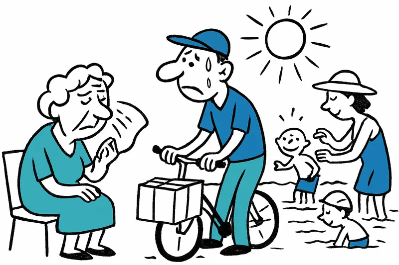
When the Asphalt Shimmers: Why Mallorca Needs to Be Better Prepared for the New Heatwave
The announced heatwave will again bring temperatures up to 40 °C and raises questions about protection, infrastructure a...
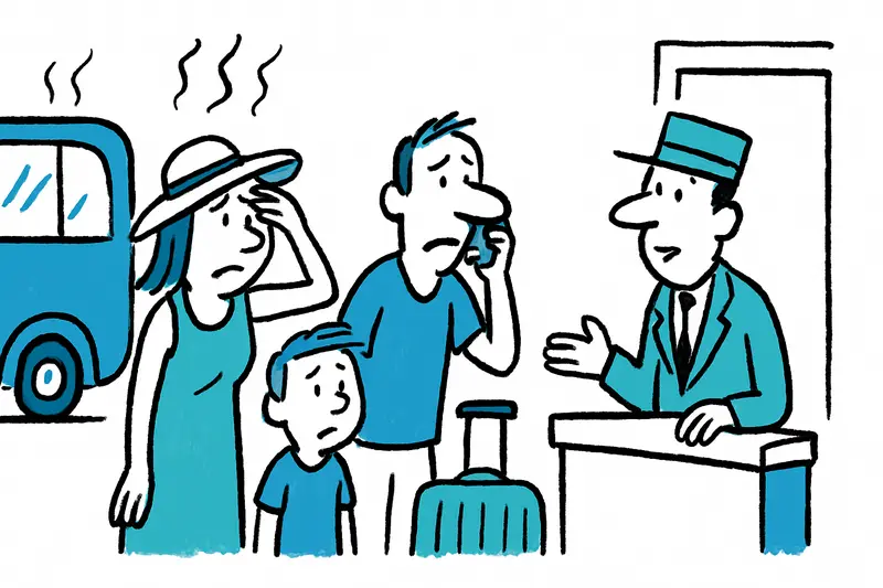
When you can really cancel your Mallorca vacation for free due to heat
Heatwaves are no surprise on Mallorca. But heat warnings alone usually do not suffice for free cancellation. A reality c...
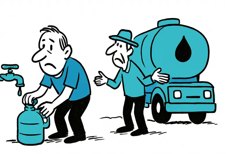
Summer Heat: A Reality Check on Water Shortages in s'Horta and Deià
Nightly water shutdowns in s'Horta, daily tanker trucks in Deià — helpful emergency measures or a symptom of a bigger pr...

Sunbed war at the hotel pool: When a "prank" becomes dangerous
In Magaluf a 31-year-old Briton reportedly expressed his frustration over early sunbed reservations in an unauthorized w...
More to explore
Discover more interesting content

Boat Tour with BBQ along Es Trenc Beach

Private transfer from Mallorca Airport (PMI) to Pollensa
