

Is the traffic plan sufficient for the solar eclipse? A reality check for Mallorca
On August 12 authorities will close access roads to around 20 natural sites. We ask: Can the plan withstand the rush of visitors, language barriers and the parking shortage?
Is the traffic plan sufficient for the solar eclipse? A reality check for Mallorca
Key question: Can the current closure plan for the total solar eclipse on August 12 really prevent the island's roads from descending into a chaos of parked cars, blocked driveways and overwhelmed emergency routes?
The facts are clear: For many viewpoints, beaches and lighthouses there will be traffic restrictions on Wednesday, August 12 – generally between 3:00 p.m. and 9:00 p.m. In Playa de Palma special measures apply already from 8:00 a.m., and Santa Ponça has even put parts of the plan into effect on August 11. Around 20 road sections will be fully or partially closed, affecting locations from Algaida (Randa) via Sóller to Valldemossa. Certain groups are allowed to pass: residents with ID, property owners with tax proofs, hotel guests with confirmation. Taxis, VTC (ride‑hailing vehicles), city and TIB buses as well as hotel transfer services are exempt – but parking is only permitted for drop‑offs. A QR access permit was planned for Playa de Palma (business registration July 27 to August 12; info: district office 971 22 58 92). Son Matamoros (Felanitx) is an official observation site; a maximum of 800 vehicles will be admitted there, totality is expected at about 8:31 p.m. and lasts roughly one and a half minutes.
Critical analysis: Authorities have presented a plan that looks solid at first glance. But in practice the weak points are not in the numbers, they are in the implementation. First: communication. Thousands of tourists, many without Spanish skills, must know where they can park, how the QR permit works and which proofs are accepted. Second: capacity displacement. Closing access to popular spots pushes traffic to places without restrictions – shifting the problem to small villages and side streets. Third: public transport capacity. Exempting buses and TIB is positive; but is the supply sufficient? Will there be additional shuttle services to discourage visitors from coming by private car? Fourth: enforcement and flexibility. The rules allow for early or extended closures "if needed." What counts as need? Unclear decision thresholds create uncertainty for drivers and emergency services.
What is missing from the public debate: concrete maps with approach roads, parking zones and shuttle stops in multiple languages; expected visitor numbers per observation site; solutions for people with mobility impairments; a clear plan for neighboring municipalities that could serve as overflow parking. It is also unclear how restaurants and hotels are expected to manage guest logistics in practice – yet that is central to keeping emergency routes clear.
Everyday scene from Mallorca: On the Paseo Marítimo it smells of sea and sunscreen, cyclists dodge queued taxis, and at a barrier near Playa de Palma police officers shrug as they tell a French couple that their QR code is missing. A delivery driver tries to pass slowly and is stopped. In Felanitx you can hear the rumble of emergency vehicles while locals, holding water bottles, discuss in small groups whether to stay on foot or walk the road to the viewing point.
Concrete solutions that can be implemented quickly:
1. Multilingual quick maps with access roads, recommended parking areas and shuttle stops in English, German, Spanish and Catalan/Mallorquí, distributed at airports, station counters and hotels.
2. Park-and-ride plus shuttle programs at selected large parking areas (including temporary use of sports facilities), so private vehicles are taken out of core areas early.
3. Real‑time info via social media and public transport apps – available capacity, closed access roads, waiting times. Authorities can use existing channels but must provide clear traffic updates in multiple languages.
4. Clear signage and temporary local parking bans in alternate villages, combined with enforcement, so residents are not overrun.
5. Reserved emergency corridors and visible parking zones for response vehicles, monitored by mobile posts so that no minutes are lost in an emergency.
Punchy conclusion: The plan is a good start, but it will not run itself. Without better multilingual information, practical park‑and‑shuttle options and clear coordination with neighboring municipalities, overflow routes will clog and unnecessary traffic blockages will occur. Anyone who wants to enjoy totality calmly on August 12 should rethink early: arrive on foot, by bike or by shuttle – or stay where they already are. Otherwise the celestial spectacle will quickly turn into a traffic drama.
Frequently asked questions
Is Mallorca’s traffic plan for the August solar eclipse likely to keep the roads clear?
When do the traffic restrictions take effect around Mallorca for the eclipse, and where will they be most noticeable?
How can visitors minimize traffic disruption during the eclipse in Mallorca?
Who is allowed to pass or park during the Mallorca eclipse restrictions?
What practical steps could improve the eclipse traffic plan in Mallorca?
Where is the official eclipse observation site in Mallorca and how many vehicles will it admit?
Which areas in Mallorca are most affected by road closures during the eclipse?
What should I bring or prepare for a smoother experience during Mallorca's eclipse day?
Similar News
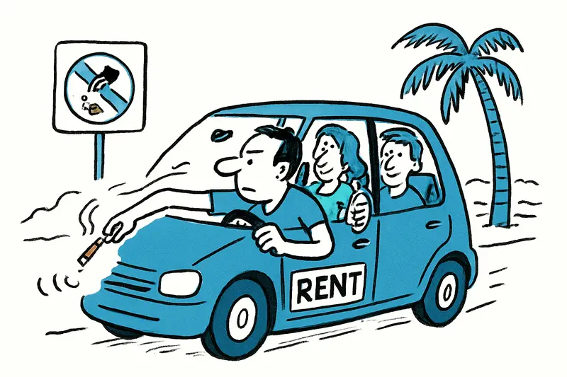
Rental car drivers in Mallorca: What you face — and why fines are only half the solution
Cigarette butts, cans, bags: Those who throw waste from their car in Mallorca risk up to €500 fine and six penalty point...
Invasive Wasps in Mallorca: Who Will Stop the Buzz?
Asian and Oriental wasps are establishing colonies on the island. Key question: Are traps and reporting hotlines suffici...
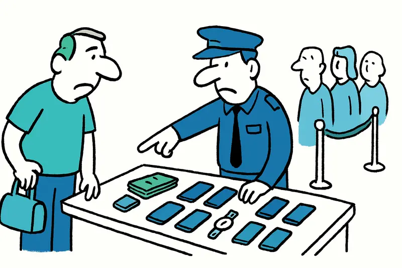
Check at Palma Airport: Large Amount of Cash, Nine Phones and the Question Who's at the Back of the Line
Early on Friday morning officers stopped a 67-year-old at Palma Airport. In his luggage they found €26,590, nine mobile ...
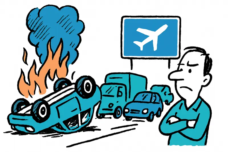
Car overturns and burns on the airport highway: What the traffic jam tells us
A car overturned early in the morning on the Palma–Llucmajor stretch (km 13.8) and caught fire. The driver escaped with ...

Chihuahua kidnapped in Ciudad Jardín – Ransom demand during Facebook appeal
A sick Chihuahua named Peque disappeared during dinner in Ciudad Jardín. After a ransom demand of €900 the National Poli...
More to explore
Discover more interesting content

Boat Tour with BBQ along Es Trenc Beach
Private transfer from Mallorca Airport (PMI) to Pollensa
