Severe weather in Mallorca: Wind, rain and a brief temperature drop – what matters now
From Friday a short but intense low will pass over the island. Wind gusts up to 80 km/h, heavy showers and cooler weather – practical tips for everyday life and outings.
Severe weather warning from Friday: brief, noticeable change
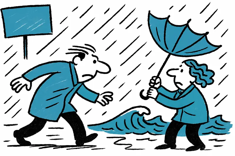
The sky over Palma already carries that heavy, compact grey in the morning – and you can hear the sea differently, rougher. From Friday morning fresh east winds will pick up, with strong gusts along the coasts and on exposed cliffs. Storm warning for Friday: high waves, downpours and a noticeable temperature drop are possible. Anyone who has boat trips or crossings planned for the next few days should check ferry schedules and pay attention to announcements from the ports.
What does the situation look like specifically?
Wind: Strong gusts are possible again and again, with local peaks around 70–80 km/h. The Paseo Marítimo, Portixol, the eastern cliffs and all exposed promenades are particularly vulnerable. You can hear it: tables rattle, umbrellas flap, sail hardware creaks – that is how the weather announces itself.
Rain: The morning into the early afternoon will bring partly heavy showers. In narrow streets with poor drainage – such as Avinguda Joan Miró or Ronda de Dalt – water can accumulate quickly. In some places this is enough for puddles or short-term flooding.
Sea: The swell will increase significantly. Harbor masters may postpone or limit connections. The Alcúdia–Palma route is especially one to watch; information from the ferry companies is now more important than glancing at the weather app icon. For preparedness guidance see New Storm Front on Mallorca: How Prepared Are the Island and Its People?.
Everyday life on the island: a little planning goes a long way
Temperature-wise this is not a dramatic shift, but it will feel noticeably cooler. Meteorologists expect around 20–24 °C on the coast; inland it can still be a bit warmer during the day, but the last warm days will for now feel like a memory. That means: pack a jacket, wear sturdy shoes and watch out for falling branches when parking. If you plan to go into the Tramuntana over the weekend, keep an eye on wind and visibility conditions.
Practical tips from the neighbor (and the café owner at the pier)
This morning I saw a café owner at the harbor bringing the chairs inside – a good indicator. A few simple rules that save a lot of trouble: secure balcony furniture and flower boxes, park bicycles in sheltered places, bring small boats ashore or secure them with mooring lines. Children and older people should avoid windy promenades; in heavy rain lower-lying streets can be critical.
If you have pets: plan short walks and dry their paws after wading. Drivers: expect wet roads with sand residues, braking distances will increase.
A short phase – then sun again
The good news: this cool, wet phase is short. By Sunday the first clearings are expected, and from Monday temperatures will rise again. For background on the approaching changes see Short break before the rain: Is Mallorca ready for the fast cold front?. Inland areas, places like Santa Maria or Algaida, could become warm spots again faster than the coast. In short: rain jacket now, sunscreen again in a few days.
Remember: follow local warnings, check ferries and ports, secure balcony furniture. Better to reschedule for a day than get wet – and maybe use the wind for something pleasant: a hot coffee inside and a walk where the smell of saltwater and damp earth feels even more intense.
Frequently asked questions
How bad will the weather be in Mallorca from Friday?
Will it still be warm enough to go out in Mallorca this weekend?
Is it safe to take a ferry in Mallorca during the windy weather?
Which areas of Palma are most exposed to strong wind and rain?
Should I avoid the seafront in Mallorca when the wind picks up?
What should I do to prepare my balcony or terrace in Mallorca before the rain and wind?
Is it a good time to drive in Mallorca if there is heavy rain?
Will the weather improve again in Mallorca after the stormy spell?
Similar News
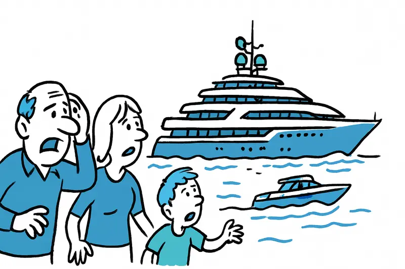
The 'Kaos' off Camp de Mar: 110-Meter Luxury in Sight
Shortly after noon the 110-meter superyacht "Kaos" glided past Camp de Mar. A look at the machinery, the onboard ameniti...
Alcudia tightens parking rules: 200 tickets, green zones and an agitated summer district
Since the introduction of the so-called green zone, Alcudia has issued 200 fines in the first days. How fair is the meas...

Sun Protection for Your Wallet: How Holidaymakers in Peguera Save on Sunbeds and Umbrellas
Those who don't want to go to the beach with just a towel and a makeshift solution can find affordable alternatives to s...
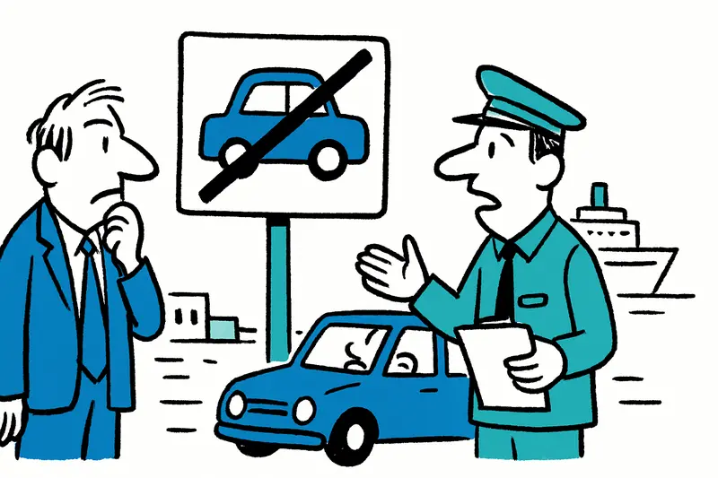
Car limit in Mallorca: Key questions, risks and concrete proposals
The island council is planning a fee for cars not registered in Mallorca. We ask: How will it work in practice, who will...

When Mallorcan Shoemaking Embraces Athens: Camper Takes Majority Stake in Ancient Greek Sandals
The Fluxà family strengthens Camper's premium segment: with the majority stake in Ancient Greek Sandals the Greek brand ...
More to explore
Discover more interesting content

Boat Tour with BBQ along Es Trenc Beach

Private transfer from Mallorca Airport (PMI) to Pollensa
