Satellite detects longlines in Llevant protected area – severe penalties and unanswered questions
A fisherman was caught by satellite fishing with longlines in the Llevant marine protected area. Heavy fines and license revocation are threatened — but the debate goes deeper.
Satellite detects longlines in Llevant protected area – severe penalties and unanswered questions
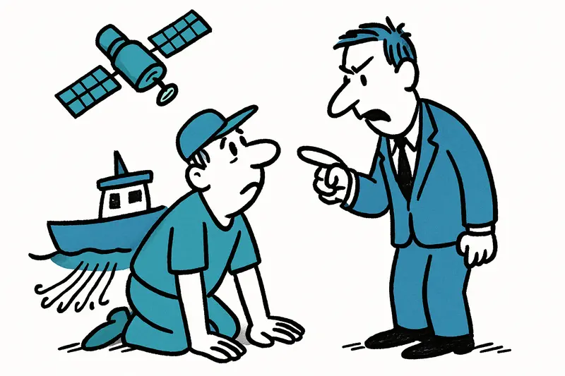
In the morning, when the Port de Manacor still smelled of diesel and freshly smoked fish and the seagulls circled the quay walls, the talk on the pier was not about the weather but about a boat "in the wrong place." The Directorate for Fisheries confirms: a professional fisherman is alleged to have fished with longlines (palangre) in the Llevant marine protected area — a method explicitly prohibited there, as reported in Dura sanción por pesca ilegal con palangres en la zona de protección marina de Mallorca.
Monitoring by satellite: how the "green box" reveals misconduct
It was not a passerby or the coast guard who noticed the offense, but the satellite-based monitoring system known as the "green box," with satellite services like Copernicus Maritime Surveillance providing similar imagery. According to the authority, the images provided sufficient evidence to open proceedings. Antoni Maria Grau, Director-General for Fisheries, puts it plainly: "Those who fish in protected areas endanger entire stocks and the work of their colleagues."
For many here on the east coast, that seems logical — inspections at sea are demanding, with wind, short nights and complex stretches of coast making patrols difficult. Satellites provide a kind of eye from space that does not sleep. But is a pixel image enough to destroy livelihoods?
Why the issue is more complicated than a photo
The central question is: how do we find a balance between effective monitoring and fair treatment of professional fishermen? Satellite data are powerful but not infallible. Clouds, course changes and evasive maneuvers can complicate interpretations. Some people here say the rules are not enforced equally everywhere; others fear that individuals could abuse the system to report competitors.
Less often discussed is how stricter controls shift behavior: will illegal fishing be displaced to other, less monitored areas? Or will smaller boats that traditionally work along the coast be disproportionately affected while larger units operate evasively? And: who verifies the satellite data, who has access to the raw data, and how transparent is the process?
Consequences for stocks and people
Longlines can severely damage the seabed and juvenile fish stocks — in protected areas like Llevant, where seagrass meadows and growth zones are nursery grounds for young fish, this is particularly dangerous. The authority is threatening fines of up to €60,000 and the revocation of fishing licenses. For a family in Port de Manacor, that can be ruinous; for the stock it could provide relief.
Here, two legitimate interests collide: the protection of sensitive ecosystems and securing livelihoods. The deterrent strategy has its effect, but deterrence alone does not replace lost quotas or provide social cushioning for those affected.
What would help now
Instead of only punishing, a package of monitoring, prevention and support is needed. Some proposals that would make sense locally:
1. Transparent data and clear standards: Satellite data should be disclosable and standardized for inspections so that cases are not judged subjectively. A notification and appeal period for those affected is necessary.
2. Combined monitoring: Satellite, Automatic Identification System (AIS)/GPS trackers on vessels, spot inspections and local observers — only the combination increases legal certainty.
3. Differentiated sanctions: Fines scaled by severity, and alternative measures such as mandatory training, temporary caps or assistance to switch gear instead of immediate license withdrawal for first offenses.
4. Support programs: Retraining, grants to transition to more selective fishing methods or a voluntary buy-back program for particularly harmful gear.
5. Local co-management models: Fishing communities, conservationists and authorities at the table — shared maps, clearly defined protected zones and realistic time windows can increase acceptance.
Outlook: strict, but socially balanced
The authorities' message is clear: protected area means protected area. But long-term success requires more than high fines. Those who work here on the quay hear the waves, see the seagrass meadows in the clear water and know: ecology and economy are linked. A purely punitive policy can create calm in the short term — sustainable solutions emerge where monitoring, transparency and social support come together.
The hope of coastal communities is simple: fair, comprehensible rules that protect stocks while securing livelihoods. And who knows — perhaps satellites will not only lead to prosecutions but also to better conversations over breakfast at the harbour, when the sun rises over Llevant and the boats head out again.
Frequently asked questions
What happens if a fisherman uses longlines in a protected area in Mallorca?
How do authorities detect illegal fishing in Mallorca’s marine protected areas?
Why are longlines banned in Mallorca’s Llevant marine protected area?
Can satellite images alone be used as evidence for fishing offences in Mallorca?
What fines can apply for illegal fishing in Mallorca?
What does the Port de Manacor mean for fishing in Mallorca’s east coast?
How can Mallorca protect fish stocks without harming local fishermen?
What should fishermen in Mallorca know about fishing in marine protected areas?
Similar News
Brutal assault in Port d'Andratx: When will safety return to the promenade?
A 36-year-old German property owner was knocked down and robbed in the early hours of June 6 on the harbour promenade of...
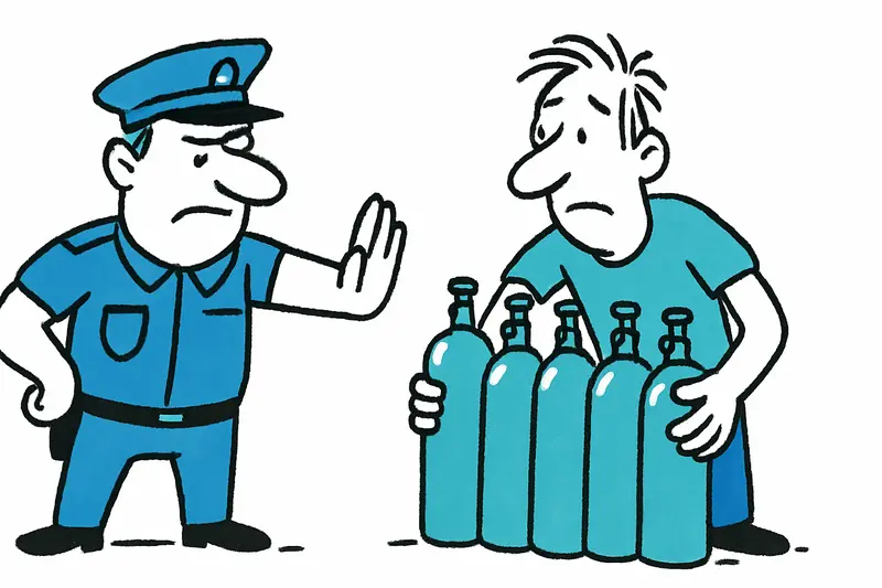
Almost 30 kilos of laughing gas at Playa de Palma – what does it say about nightlife and safety?
A man was stopped with 18 cylinders of nitrous oxide near Playa de Palma. Time for a reality check: How dangerous is the...

Strike at Palma Airport: Assistance for mobility-impaired passengers on the brink of collapse?
Around 50 employees of the assistance service at Palma Airport protested for reliable working hours. Negotiations are de...
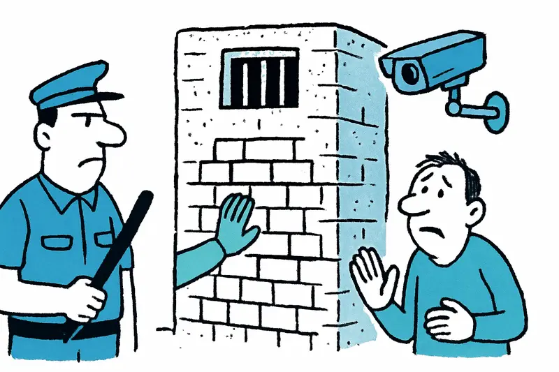
Palma's Old Prison: Bricked Up, Monitored — and Now?
The city of Palma has cleared the old prison and begun filling in entrances and installing video surveillance. What does...

Mallorca travels to the World Cup: Why the island is more than a spectator
48 nations, World Cup atmosphere and surprisingly many connections to the island: why Mallorca this summer isn’t just si...
More to explore
Discover more interesting content

Boat Tour with BBQ along Es Trenc Beach

Private transfer from Mallorca Airport (PMI) to Pollensa
