Thunderstorms, Downpours, Cooling and Contrasts: Is Mallorca Ready for Summer Storms?
Lightning, thunder, sudden cooling: Wednesday brings local heavy rain and thunderstorms. We ask: How well is the island prepared for short, intense showers — and what can residents and visitors do?
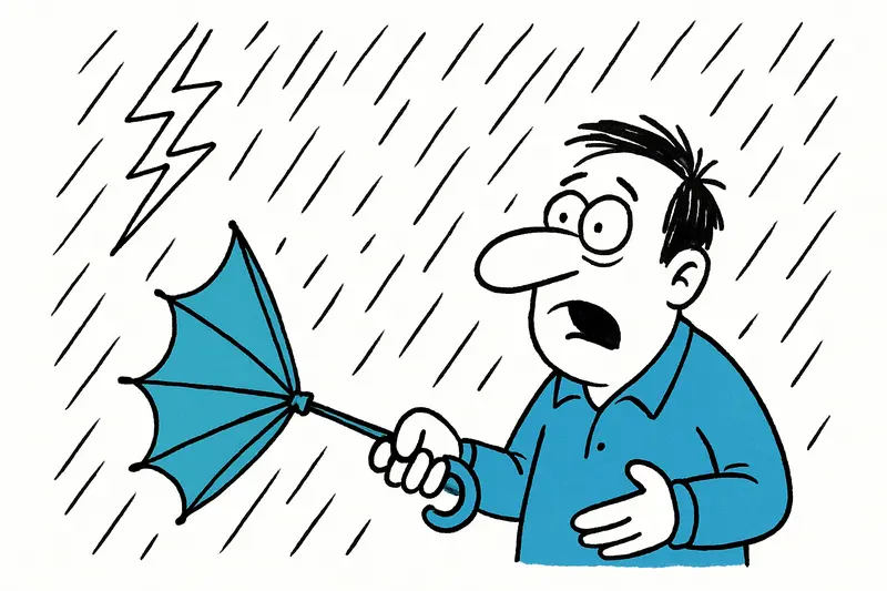
Lightning, thunder and sudden downpour drama: a morning you wouldn't expect on Mallorca
The smell of wet tarmac and that slightly electric tingle in the air — this morning on Passeig Mallorca the weather suddenly wasn't just summer idyll, but a preview of what meteorologists are predicting for Wednesday afternoon (see New Storm Front on Mallorca: How Prepared Are the Island and Its People?): short but intense thunderstorms with locally heavy rainfall. For some parts of the island the alert level is orange, others are on yellow (consult AEMET weather warnings for the Balearic Islands). The time window is tight: about 12:00 to 18:00. But the central question remains: Is Mallorca sufficiently prepared for such sudden summer storms?
Why the weather changes so quickly
Behind the rapid shift is a cold-air wedge in the upper layers. When cold air meets the warm, moist maritime air, the atmosphere loses stability quickly. The result: thunderstorms, torrential rain, brief temperature drops. Highs then fall to around 27 to 31 °C — for many a welcome relief after 40‑degree days, but accompanied by hazards: aquaplaning, reduced visibility and suddenly overloaded drainage systems.
Which areas are on the weather map?
Particularly vulnerable are the island interior, the south and the east coast. Places like Llucmajor, Cala Major and routes along the Serra de Tramuntana must expect locally very high rainfall rates — in extreme cases up to 50 liters per square metre in one hour are possible, as reported in recent events such as 10,000 Lightning Strikes over Mallorca: What the Summer Storm Reveals. Even in Palma city centre, for example on Avinguda de Jaume III or Plaça Espanya, heavy downpours can affect traffic and visibility. And yes: convertible drivers and market visitors should plan accordingly today.
Weak points that are rarely discussed
Public warnings cover the obvious part. What is often overlooked in the discussion, however, is the infrastructure that has to cope with much more rain in a short time. Sewer systems and street drains in many places were not designed for such intensities. Added to that are private balconies and terraces whose furniture can become flying projectiles in strong winds, and inadequately secured construction sites around Palma. Short, intense showers also test the resilience of the local power supply – increasingly visible consequences are short outages during heavy lightning strikes (see Finally cooler – Thunderstorms bring relief, but also questions for Mallorca's infrastructure).
What urban planning and municipalities could do
If we want to take the next generation of summer storms seriously, flat app alerts alone won't be enough. Concrete steps would include better stormwater drainage in critical road sections, intensified maintenance of gutters and Puigverd outlets before the season, as well as temporary parking bans in low-lying streets during weather warnings. Green spaces and permeable surfaces in newly planned neighbourhoods would also help to reduce peak runoff. Not everything is expensive: better signage at river crossings, clear detour rules for buses and coordinated social-media warning chains by municipalities bring immediate value.
Practical rules for residents and guests
Drive safely: Aquaplaning is real. Drive slowly, keep distance, don't speed through deep puddles; see official guidance on driving in heavy rain. No one should assume their car is amphibious.
Secure balconies and terraces: A toppled chair is annoying, a detached glass roof can be dangerous. Small fixings prevent big damage.
Watch public transport info: Buses heading for the mountains are particularly susceptible to delays. If you have appointments, build in extra time.
Beachgoers and market visitors: Pack up when the sky darkens. Thunderstorms at sea come with wind and sudden gusts — sand and sunbeds move faster than you think.
Looking ahead: relaxation yes, vigilance remains
The good news: the forecast showers are mostly short and localised. Major disasters are unlikely according to the current assessment, provided basic rules are followed. For Thursday the situation remains unstable, especially at night and in the morning, before a more relaxed weather pattern is expected from Friday. Temperatures will then swing again between just under 20 °C at night and around 30 °C during the day.
A small personal note to finish: I'll take another look later towards Portixol and Plaça Espanya — it's amazing how different the weather can be over short distances. For the moment: pack an umbrella, watch the sky and better have one more espresso than risk a sunburn. And to the authorities: a little more preparation for these summer storms would give us all peace of mind and a dry sofa.
Frequently asked questions
Will Mallorca have thunderstorms and heavy rain this week?
Is it still safe to drive in Mallorca during a summer storm?
What should I pack for Mallorca when storms are possible?
Which parts of Mallorca are most affected by heavy rain?
Can thunderstorms in Mallorca cause power cuts or drainage problems?
What is the weather usually like in Mallorca after a summer storm?
Is it a good day for the beach in Mallorca if storms are forecast?
How does stormy weather affect Palma and central Mallorca?
Similar News

Camper Takes Over Ancient Greek Sandals: Mallorca's Shoemaking Tradition Meets Greek Sandal Craftsmanship
Camper secures a majority stake in Ancient Greek Sandals. For Mallorca this means greater visibility for craft and desig...

Dead dolphin in Caló des Moro: Who takes care — municipality or coastal authority?
A dead dolphin lies on the narrow bay of Caló des Moro near Santanyí. Removal is stalled because only land-based resourc...

Ulises Seeks Peace: A Sensitive Dog Needs a Patient Home
Ulises, a traumatized dog in Mallorca, has made progress at a shelter. He now needs a quiet home with steady care and a ...
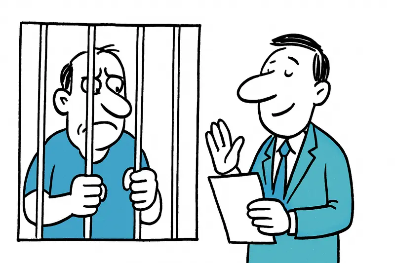
Between Punishment and Impunity: Why Six Perpetrators in the Manacor Case Won't Go to Prison
Six men humiliated and severely assaulted a man with an intellectual disability in Manacor. The court imposed short pris...
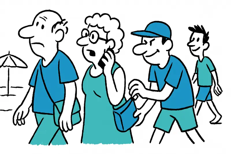
Vacationers at Ballermann: How the Latest Pickpocket Tricks Work — and What Really Helps
An Instagram video from Playa de Palma shows how groups of thieves exploit older and intoxicated holidaymakers. What’s b...
More to explore
Discover more interesting content

Boat Tour with BBQ along Es Trenc Beach

Private transfer from Mallorca Airport (PMI) to Pollensa
