Yellow Alert Across the Island: How Safe Is Mallorca from the Next Storm?
Yellow Alert Across the Island: How Safe Is Mallorca from the Next Storm?
Aemet has expanded the storm warning: gusts up to 70 km/h and waves up to four meters from Wednesday, with a short-lived early-spring spike to 21 °C. A reality check for harbour operators, municipalities and everyone who lives or works on the coast.
Yellow alert across the island: How safe is Mallorca from the next storm?
Key question: Are the current warnings and preparations sufficient so that wind, waves and sudden weather changes do not endanger people and infrastructure?
Aemet has expanded the yellow warning for Mallorca: From Wednesday stormy gusts of around 70 km/h are expected, and along the coasts wave heights of up to four meters can occur. On Thursday the warning applies to the entire island, not just the coasts. At the same time the weather sends us a short early-spring greeting — daytime temperatures of up to 21 °C are forecast, before rain and a marked temperature drop follow from Friday, as noted in First storm warning, then sun: How well is Mallorca prepared for this changeable weather?. For Sunday a snow line of around 700 meters is mentioned. All this in just a few days.
In short: dangerous side- and after-effects of a changeable Atlantic system. Yellow Storm Warning: How Well Is Mallorca Prepared for Heavy Rain? is clear that yellow is the lowest warning level — nevertheless the effects are real. Wind gusts of this strength can tear off awnings, set small boats in motion and wash over low-lying promenades. Meter-high waves can damage roadside edges and sea walls, and beach sections that invite walking today may be off-limits tomorrow.
Critical analysis: The report is clear about the area and intensity — but not precise enough for local decisions. Aemet cites gusts up to 70 km/h and four-meter waves, but for harbour operators, bicycle commuters on the Paseo Marítimo or restaurateurs with outdoor areas the spatial resolution is missing: Where exactly are the strongest gusts to be expected? In Port Andratx or rather on the north coast? How long do the peaks last — hours or only minutes? Authorities communicate warning colours, but hardly any action thresholds: At which signal are promenades closed, when should ferries be reduced? This gap was evident during an Orange Alert: Torrential Rains — Is Mallorca Prepared?.
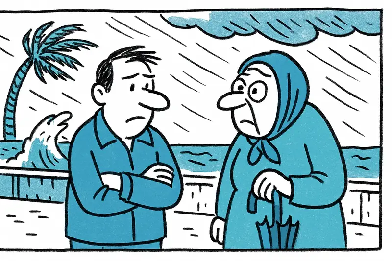
What is missing in the public discourse: the everyday usability of warnings. I think of the fisherman's morning in Port Andratx, when nets are already hauled in, of the elderly women who walk their rounds on the Paseo in Palma in the mornings, of the terrace on Avenida Jaime III where the innkeeper is still looking for tarpaulins. Such scenes show the immediate impact of the weather — but communication often remains technical and abstract. Residents and small businesses need clear, local instructions: when to clear out, where to borrow securing materials, which streets to avoid.
Concrete solutions: First: more local resolution in warnings. City and island offices could, in cooperation with Aemet, publish more precise hazard maps — which harbours are at risk, which coastal stretches are prone to flooding, which roads are vulnerable to wind, as suggested after past heavy events in Storm Alert: Is Mallorca Prepared for the Deluge?. Second: local early-warning procedures: signs along promenades that are automatically activated with a red light; a simple SMS or messenger service from municipalities for registered boats and businesses; and short loudspeaker announcements in affected beach towns. Third: standardized action lists for small businesses and households — items like "retract awning", "secure garden furniture", "check moorings" in simple checklist form. Fourth: harbour control — marinas and fishing harbours should have binding securing levels, influenced by expected wind direction and duration. Fifth: coordinate traffic information — buses, ferries and mountain routes should be prepared already at yellow so passenger flows do not end up in dangerous situations.
A practical example: If two days before the storm a municipality in Port de Sóller orders the closure of the seafront by loudspeaker and SMS and at the same time communicates temporary parking bans, people have time to move cars and secure fishing gear. That costs little but prevents tow trucks from having to be called in in the morning.
What to do immediately — concrete tips for readers: Follow Aemet notices, check local municipal instructions and do not block narrow spots with wrongly parked vehicles. Secure terrace furniture and awnings, haul boats ashore or add extra lines. When in doubt avoid promenades and rock outcrops — a beautiful view of lashing waves can quickly cost you a wet shoe or worse. For drivers: gusts can cause trucks and motorhomes to yaw; reduce speed and keep distance.
Pointed conclusion: The yellow warning is not a reason to panic, but it is a reason to prepare. Mallorca knows these weather situations — but routine must not lead to negligence. To be truly resilient we need clearer, more local warning thresholds, practical action aids and better coordination between Aemet, municipalities, harbours and transport operators. Only then will that snapshot on the promenade remain a photo-album story and not a rescue operation.
Frequently asked questions
How serious is a yellow weather warning in Mallorca?
Is it safe to go to the beach in Mallorca during windy weather?
What should I do to prepare my home in Mallorca before a storm?
Can strong wind affect ferries and boats in Mallorca?
What should drivers know about stormy weather in Mallorca?
What is the weather forecast for Mallorca after the stormy period?
What is the weather like in Port Andratx during a storm warning?
How does stormy weather affect the Paseo Marítimo in Palma?
Similar News
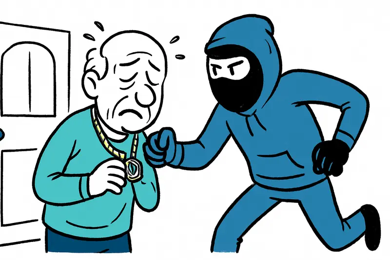
Robbery in La Soledat: An 88-year-old injured — what is missing in the debate?
In La Soledat three unknown people broke in during the night and ripped a chain from an 88-year-old man's neck. A realit...
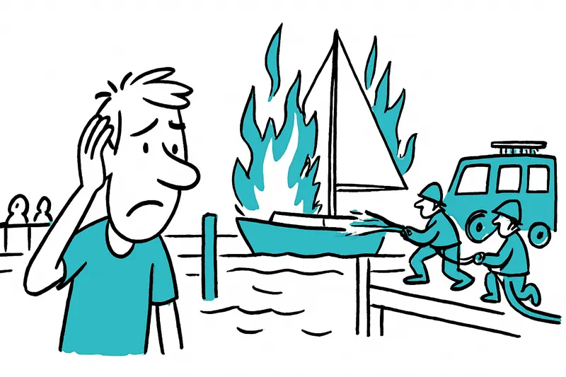
Fire at Muelle de las Golondrinas: What happened — and what needs to be done now
A sailboat in front of the Auditórium de Palma caught fire in the morning. A 40-year-old was injured in the leg. A reali...
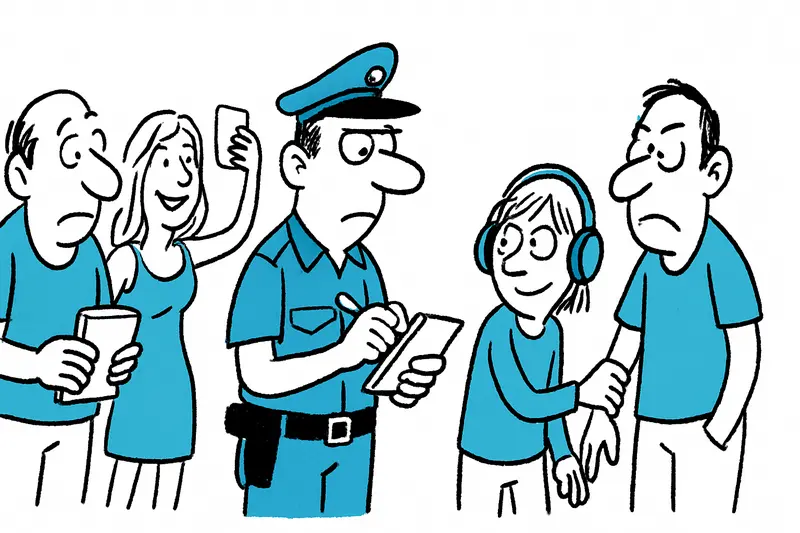
Ballermann in the Crosshairs: Police Stop Organized Pickpocket Gang
18 people arrested: An internationally organized group systematically exploited Playa de Palma, using distraction, viole...

Flight and Arrest Warrant in Mallorca: The Search for a Six-Year-Old Girl
The Guardia Civil is searching Mallorca for a 37-year-old German accused of taking his six-year-old daughter. The case s...

Orange Alert: Why the Heat This Time Runs Deeper Than the Thermometer
AEMET has issued an orange alert for parts of Mallorca. Key question: Are local measures sufficient to protect older peo...
More to explore
Discover more interesting content

Boat Tour with BBQ along Es Trenc Beach

Private transfer from Mallorca Airport (PMI) to Pollensa
