
Yellow Alert on Mallorca: Next Rain Front Approaches — Is the Island Ready?
Aemet issues yellow warnings for the south, southwest and central Mallorca: thunderstorms and heavy rain will push down temperatures and can cause local problems — from the airport to roads and parks.
Yellow Alert on Mallorca: Next Rain Front Approaches — Is the Island Ready?
Key question: Are organization and precautionary measures in the affected municipalities sufficient to limit damage from the announced rain front?
The meteorological service Aemet expects thunderstorms and persistent rainfall from Wednesday afternoon, and a yellow alert for Thursday has therefore been issued for parts of the island. The south, southwest and the central zone of Mallorca are expected to be particularly affected. Meteorologically this means: within a few days daytime temperatures will fall from just over 30 °C to around 27 °C, while nights remain mild at about 17 to 20 °C. For travelers and commuters this means a rapid switch from beach weather to unpleasant showers.
Critical analysis
On paper a yellow alert is not an alarm state. In practice, however, strong thunderstorms can quickly cause local chaos: flooded underpasses, damaged gutters, trees toppling under the weight of driving rain. Just last week severe storms crossed the island, as covered in Storm Alert: Is Mallorca Prepared for the Deluge?, and led to numerous incidents with fallen trees and blocked roads. A second passage in quick succession increases the risk because soils are saturated and drainage systems overload faster.
The Palma airport is particularly sensitive. Heavy rain and storms often cause flight delays and diversions there. Passengers should therefore not rely solely on the published flight schedule, but actively check status with their airline and allow extra buffer time. The effects on roads and tourism have been discussed in Orange Alert in Mallorca: What the AEMET Warning Means for the Island, Roads and Tourism.
What is often missing in public debate
There is a lot of talk about temperature figures and alert levels. Less attention is paid to concrete vulnerabilities: Which roads are critical junctions? Where does rainwater collect fastest? Which neighborhoods suffer from poor drainage? Locally there are often no transparent lists of risk points and no clear instructions on how residents should act in an emergency. It is also unclear how well coordinated the work between municipal offices, road maintenance crews and airport operators really is in the hours before a storm front arrives.
Everyday scene from Mallorca
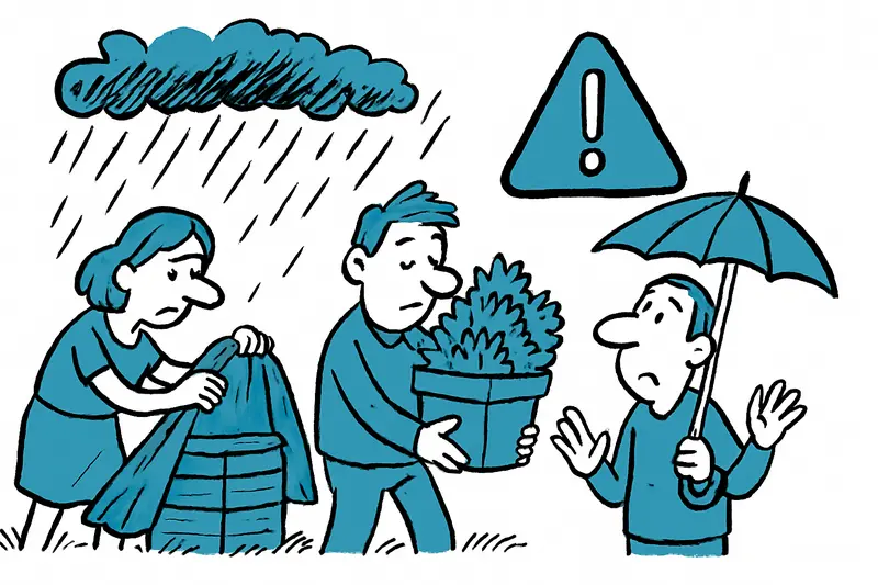
Early Tuesday morning on Passeig Mallorca the market stall is still crackling, bougainvillea glistens from the last spray of rain. A delivery driver makes rounds along Platja de Palma, the sunbeds have been pushed together, and a cafe owner on the corner cautiously tucks a few chairs under the awning. These small, everyday gestures — stretching tarpaulins over wooden crates, securing flower boxes — are often the first line of defense against the coming rain.
Concrete suggestions — what citizens and authorities can do now
For residents and businesses: 1) Secure or bring in garden furniture, lightweight fences and advertising boards. 2) Check kerb drains and private gutters, remove loose leaf accumulations. 3) When driving: use only roads you know; never drive through standing water; the same rules apply to cyclists and pedestrians. 4) Air travelers: check flight status online and, if in doubt, plan taxi or transfer times more generously.
For municipalities and public infrastructure operators: 1) Perform visual checks at known problem spots before the rain arrives, especially at underpasses and storm drains. 2) Have mobile warning signs and traffic signs ready to quickly reroute traffic in case of flooding. 3) Inspect parks and trees: loose branches pose a high risk during heavy rain. 4) Airport and transport authorities should consolidate real-time information and share it with rail, bus and taxi services so commuters have alternatives.
Brief conclusion
The yellow alert is a signal: no reason to panic, but a reason to prepare. Many damages can be avoided with comparatively simple measures. Anyone who now thinks about where water might stand on their street and whether their balcony boxes are secure is already ahead of nature. And if you are departing from the airport: allow more time instead of rushing at the counter.
On Saturday the sun returns with temperatures around 28 °C — until then: stay alert, take action, and keep your umbrella by the front door rather than searching for it elsewhere.
Frequently asked questions
What does a yellow alert mean for Mallorca and how could it affect travel plans?
How should residents and visitors prepare for a rain front in Mallorca?
What should travelers know about Palma's airport during heavy rain or storms?
Which areas are most at risk in Mallorca during a rain front?
What should municipalities and public services do before a rain front hits Mallorca?
What everyday precautions can people take on the day a rain front approaches Mallorca?
How should travelers plan timing and packing when a rain front is forecast in Mallorca?
When is the weather likely to improve after a rain front in Mallorca?
Similar News
How Burglars Test Fincas in Mallorca — and What You Can Do Right Away
The police warn: simple markers like silicone threads or small pieces of paper reveal to burglars whether a front door h...

When the reception closed: troublemaker in Port d'Alcúdia injures three Guardia Civil officers
A drunken 22-year-old tourist tried to enter a hotel even though he was checked in at another property. When hotel staff...

Death in Son Gotleu: A Knife Stab — and Many Unanswered Questions
In Son Gotleu a young man was fatally injured after an altercation in a bar. Police arrested a suspect, but the reason r...
New Cappuccino in Port d'Andratx: Larger Terrace and Views of Harbor Life
After more than a year of renovation, an expanded Cappuccino Grand Café has opened in Port d'Andratx. The terrace, inter...

Unknown suitcase on board – how a piece of luggage forced an Ibiza jet to Toulouse
A Eurowings flight from Ibiza to Düsseldorf had to make an unscheduled stop in Toulouse because a piece of luggage on bo...
More to explore
Discover more interesting content

Can Cap de Bou

Townhouse Lleo 72
