
Challenge Ciclista Mallorca: Who will stop the traffic chaos?
Challenge Ciclista Mallorca: Who will stop the traffic chaos?
From 28 January to 1 February the Challenge Ciclista Mallorca rolls across the island — with road closures, changed bus routes and annoying surprises for commuters. A reality check: what works, what's missing, and how can residents still get through the day?
Challenge Ciclista Mallorca: Who will stop the traffic chaos?
Five stages, dozens of closures — and too many open questions for drivers and commuters
The island is a racetrack again: from Wednesday, 28 January, to Sunday, 1 February, professionals and ambitious amateurs will ride the Garden Hotels Challenge Ciclista Mallorca across Mallorca. Five stages, start and finish locations that change from day to day — and recurring road closures that disrupt everyday life. The official route plans are available online, the road traffic authority provides a live viewer, and public transport (TIB) warns of changes, as seen during other events such as Palma on Sunday: Triathlon and Cycling Tour Bring Atmosphere — and Road Closures. Yet many residents and commuters still feel that information and practical measures are insufficient.
Key question: Are the existing information channels and organisational measures sufficient to reliably get residents, craftsmen, bus passengers and delivery services through the week during the race?
On paper many things are regulated: the organisers publish the stage routes, the island council offers an online map with current events, and the TIB points out changed lines. In reality you see older people at the bakery on Passeig Mallorca in the morning, standing confused in front of cordoned-off intersections, delivery vans having to turn on narrow side streets, and scheduled buses taking detours and losing minutes — in a week when construction sites in Palma already often disrupt the rhythm, a pressure that is examined in Mallorca at the Limit: Will This Weekend Break the Visitor Maximum?.
The critical analysis: coordination exists but is inconsistent. Digital information is useful but does not reach everyone. Older residents, people without smartphones or temporary commuters often only find out about closures when they are already on site. Maps can be hard to read, time windows for closures are missing in some places, and alternative routes for private traffic are not always clearly signposted.
Moreover, consideration for professional necessities is uneven. Craftsmen, care services and small businesses depend on reliable access. A carpenter in Llucmajor or a caregiver in Sóller cannot simply arrive later because a stage passes through. The call for temporary special permits for deliveries or emergency services often goes unanswered or is burdened with bureaucratic hurdles.
What is missing in the public discourse: concrete, easily accessible alternatives. Instead of only showing routes, there should be clear scenarios: Which shortcut should drivers from Palma‑Oest use? Where can commuters park safely and take a shuttle to work? Which stops are moved and when? Such practical instructions would reduce frustration and congestion.
A typical Mallorca everyday scene: It is 8 a.m., the air is fresh and the temperature is around 10 °C in Palma. On the Paseo Marítimo you can hear the roar of the sea and the clinking of metal from barriers. A delivery cyclist suddenly leaves the promenade for a side street, where several cars are moving forward slowly. An elderly couple heading to the doctor's follows an outdated notice — and waits at a place where the closure has already been lifted. Scenes like these repeat themselves in villages and suburbs.
Concrete, practical and implementable solution proposals:
1) Unified real‑time map: The island council, organisers and TIB should operate a joint map that shows closures, detours and temporary stops in real time. QR codes at key intersections should link to the map.
2) Information points on site: Mobile information stands at main access roads on race days (e.g. at roundabouts in Inca, Manacor and on routes to Formentor) with printed short timetables and alternative routes.
3) Special permits for emergencies and trades: Short‑term passage authorisations, applied for digitally, communicated via control points so that care services and suppliers do not get stuck in traffic.
4) Park & Ride + shuttle: Temporary parking for commuters on the city outskirts (Palma‑North, Platja de Palma) with shuttle buses during peak hours.
5) Better signage: Pre‑installed, clearly visible signs with the times of closures instead of only stickers or temporary foil signs.
If organisers, the island council and TIB coordinate such measures seriously, the burden could be significantly reduced without belittling the races, and lessons could be learned from how other events have affected daily life, for example the 550 Challenge. Major sporting events bring money and visibility, but they must not become a constant annoyance for residents.
Pointed conclusion: The Challenge delivers spectacular images, but everyday life must not disappear behind barrier tape. More transparency, simple alternatives and pragmatic special regulations would ensure that professional and everyday traffic can coexist — rather than collide.
Frequently asked questions
When is the Challenge Ciclista Mallorca causing road closures?
How can I check which roads are closed in Mallorca during the cycling race?
Will buses in Mallorca be affected by the Challenge Ciclista Mallorca?
What should drivers in Mallorca do if their usual route is blocked by the race?
Is Mallorca still easy to get around without a car during the race week?
Are delivery services and tradespeople in Mallorca allowed through the closures?
Which parts of Palma are likely to feel the impact of the cycling race?
What practical information is missing for people in Mallorca during race closures?
Similar News

Game, Set, Applause: Glamorous Opening of the Mallorca Championships 2026
A summery opening of the Mallorca Championships 2026 at the Mallorca Country Club: celebrities, live music and a new sta...
Little Brunch at Playa de Palma: Why the Launch Is Slow — A Reality Check
Marco and Tamara Gülpen recently opened "Little Brunch" on the ground floor of their hostal at Playa de Palma. The openi...

"My Favorite Island": Emily Ratajkowski Back on Mallorca
U.S. model Emily Ratajkowski is once again spending time on the island: Cala Deià, a dinner by the sea and a stay in the...
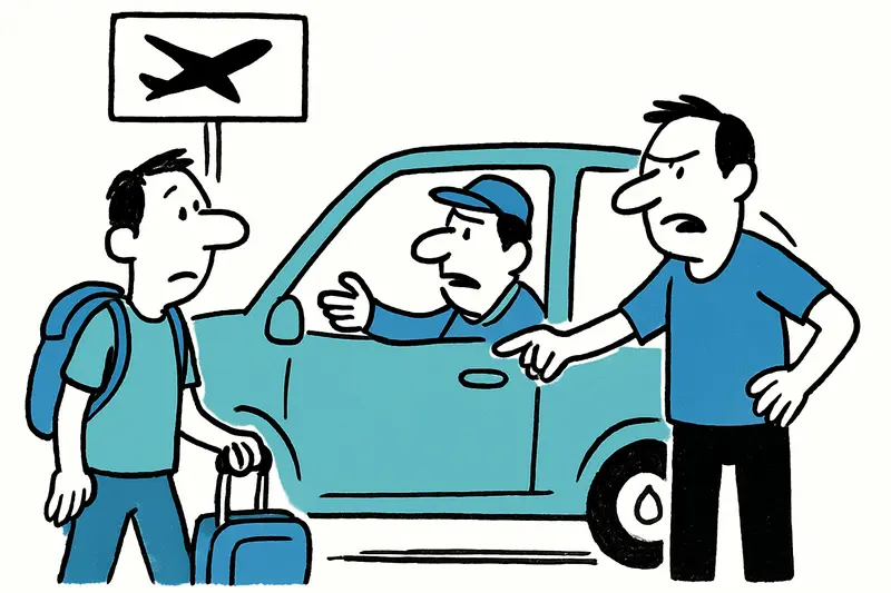
Directly from the airport to Son Banya: When a transfer becomes a trip to the drug village
Shortly after landing, several German holidaymakers were picked up at the airport by a driver and taken to Son Banya — t...
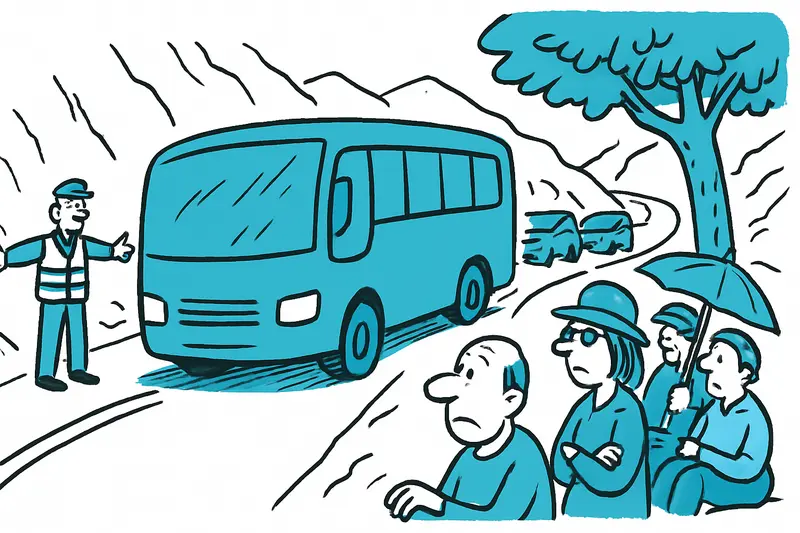
Blockade on the Ma-10: Why a Flat-Tire Bus Paralyzes the Tramuntana
Between Deià and Sóller a coach came to a standstill on the Ma-10 on Thursday midday. A tyre blowout, two buses on the n...
More to explore
Discover more interesting content

Boat Tour with BBQ along Es Trenc Beach

Private transfer from Mallorca Airport (PMI) to Pollensa
