Thunderstorms over Mallorca: Streets Flooded, Parks Closed — Are We Prepared?
A powerful thunderstorm system inundated parts of Mallorca overnight: flooded streets, cancelled markets and closed parks. The key question is: are infrastructures and warning systems sufficient to cope with such events in the future?
Night storm alert — the island rubs the sleep from its eyes
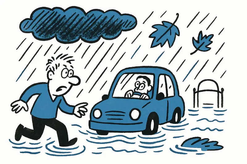
The rain began in the middle of the night and did not stop immediately. Around two in the morning the first cells moved over Palma, Son Ferriol and the Inca area, then continued toward the east coast. Those walking through the districts early this morning heard the monotone drumming of drops on terracotta roofs, smelled wet asphalt and saw trees creaking in the wind. Parks remained closed, market stalls were taken down, and the usual morning sounds — traders, suppliers, the garbage collection — were muted, after Storm Alert: Is Mallorca Prepared for the Deluge? was issued.
The facts: where the impact was hardest
Palma, Inca, Son Ferriol and parts of the east coast around Cala Millor were particularly hard hit. Strong gusts up to around 91 km/h tossed balcony furniture around and damaged a railing in Calvià. Streets turned into rivulets, underpasses filled — a bus got stuck in one such passage and passengers later waded through ankle-deep water. Lucky in misfortune: so far no injuries have been reported, according to Severe weather alert in Mallorca: Are we prepared for the deluge?.
Traffic, airport, markets: short-term effects with long echoes
The airport recorded several delays; connections, including international ones, were affected. Bus lines experienced service interruptions, markets in Palma were cancelled as a precaution and parks were closed. For many traders who rely on the weekly market, this means a direct loss of income. That's an aspect you hear less about amid the downpours in the morning: the small livelihoods that immediately feel it when the weather goes off the rails.
The central question: are we prepared for more frequent extreme events?
This is the guiding question hanging over this wet week. Such thunderstorms are becoming more frequent — meteorologists speak of altered patterns due to warmer seas. For background, see Severe Weather Warning for Mallorca: Are Our Towns and Beaches Prepared?. But issuing warnings alone is not enough: it is about sewers, maintenance of stream beds, construction practices on coasts and in depressions, emergency plans for markets and tourists, and clear communication in several languages; official forecasts and alerts can be consulted at AEMET warnings and forecasts.
What is often not given enough attention
First: clogged roadside ditches and blocked waterways. When concrete, plastic and plant debris block drains, problems arise even with moderate showers — during a thunderstorm it quickly becomes critical. Second: the interfaces between tourism operations and crisis management. Travelers check flight information but often do not know how to behave locally. Third: the economic consequences for micro-entrepreneurs — market vendors, boat renters, restaurateurs who must close at short notice.
Concrete, direct solutions — not just warm words
Some measures could be implemented relatively quickly and would make the island more resilient:
- Regular cleaning of channels and stream beds, especially before the rainy season.
- Mobile flood barriers at critical underpasses and temporary diversions that can be activated quickly.
- Multilingual, automated warning systems for tourists, linked to booking platforms and airports.
- Preventive checklists for weekly markets and outdoor events (securing equipment, elevated stalls or relocation plans).
- Green infrastructure: infiltration areas, retention basins and more unsealed surfaces in new building projects.
Why some solutions are also opportunities
Investments in more robust drainage and green systems are not just costs; they can also improve quality of life: less dust in summer, cooler streets, more attractive public spaces. Municipalities could also strengthen local emergency teams — neighbors who operate pumps, distribute sandbags or help market traders secure their stalls. That builds cohesion and reduces damage.
Practical tips for the coming hours
Until the weather calms: avoid low-lying areas and streams, do not park under trees or on roadsides, check AENA Palma de Mallorca flight information and bus connections before departure. Protect balcony furniture and warn neighbors, especially the elderly, of possible dangers. And yes: heed the orange warning level — it is not issued for fun.
The night of storms was a raw block we must carve from: on the one hand short-term crisis management, on the other strategic adjustments. The island is resilient — this is shown by the quick response of emergency services and neighborhoods. But resilience does not arise by itself. The question remains: will municipalities, operators and residents now set priorities together, or will the next heavy rains again come as a surprise? In the end, this is not only a matter of weather, but of political and social priority-setting.
Frequently asked questions
What should I do during a thunderstorm in Mallorca?
Is it safe to drive in Mallorca after heavy rain?
Are Mallorca beaches and parks open after a storm?
When is the storm season in Mallorca?
Why do streets flood so quickly in Mallorca during thunderstorms?
What happened in Palma during the Mallorca storm?
How was Inca affected by the thunderstorm in Mallorca?
Did flights and buses in Mallorca run normally during the storm?
Similar News
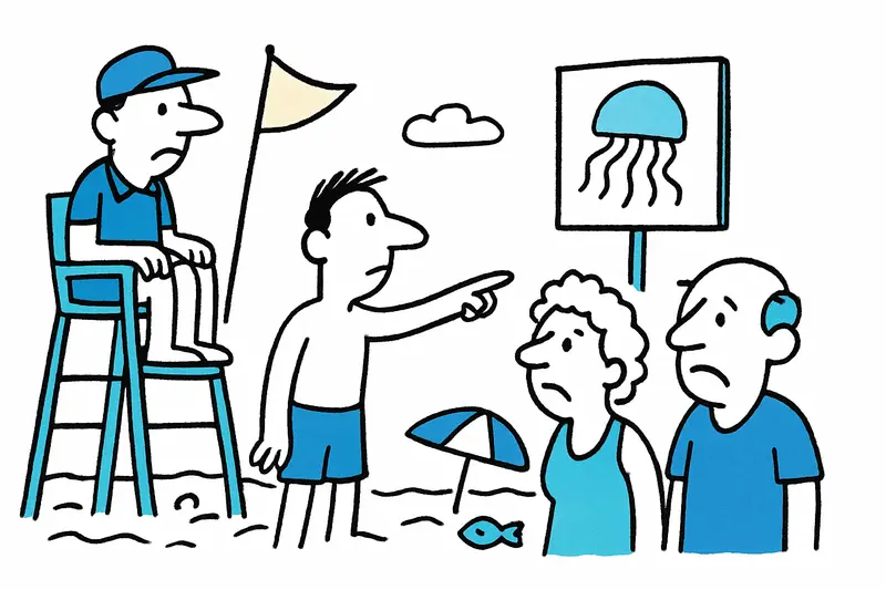
Currents, Jellyfish, Nipping Fish: How Safe Are Mallorca's Beaches Really?
The sea off Mallorca is beautiful — but not harmless. A clear guiding question, critical analysis, an everyday scene fro...
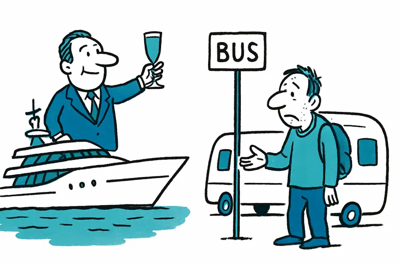
Mallorca Between Megayachts and Caravans: Why the Gap Keeps Widening
The Balearic Islands report record numbers of top earners alongside a growing number of people with very low incomes. A ...

Dispute over Loud Music on Bus: Man Stabbed in Palma – A Reality Check
A confrontation over loud music on an EMT city bus in Palma escalated: A passenger was apparently stabbed twice, and a m...
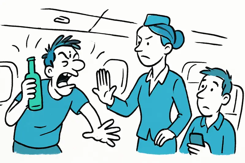
Chaos Above the Clouds: Drunk Passenger Escalates on Ryanair Flight to Palma
A passenger who appeared intoxicated caused violence and unrest on the flight from Edinburgh to Palma. After an argument...
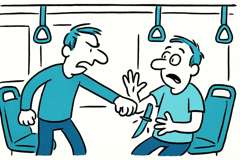
Loud Music on the Bus, Knife in the Arm: What the Attack in Palma Reveals About Safety in Local Transit
A dispute over loud music on a city bus in central Palma escalated: a passenger was stabbed twice in the arm and the sus...
More to explore
Discover more interesting content

Boat Tour with BBQ along Es Trenc Beach

Private transfer from Mallorca Airport (PMI) to Pollensa
