After the rain comes more rain: Is Mallorca prepared for the next weather wave?
After the rain comes more rain: Is Mallorca prepared for the next weather wave?
AEMET announces new thunderstorms and heavy precipitation, with the snow line around 1,200 metres. A reality check: How prepared are municipalities and residents?
After the rain comes more rain: Is Mallorca prepared for the next weather wave?
AEMET reports thunderstorms and heavy precipitation – the snow line is around 1,200 m
Key question: Can towns, villages and people in Mallorca cope with suddenly recurring heavy rain, or do roads and drains risk being flooded again?
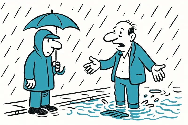
The weather service AEMET has announced a new low that is expected to bring thunderstorms and locally heavy rain in time for Christmas, according to Yellow Storm Warning: How Well Is Mallorca Prepared for Heavy Rain? Models show the snow line may be around 1,200 metres; on the coast it will stay fresh with daytime highs of around 13 to 14 degrees. Forecasts for the last days of December point to frequent showers, while temperatures rise again toward 17 to 18 degrees — the nights lose their biting cold, a pattern also noted in New Storm Front on Mallorca: How Prepared Are the Island and Its People?
Quick calculation: A second wet blow within a few days increases the strain on drainage systems, a point made in Storm Alert: Is Mallorca Prepared for the Deluge? Just on Tuesday, small-scale cloudbursts caused trickles to run over the paving stones in Palma's old town and temporary streams to form. Major damage was avoided, but repeated heavy rain changes the starting conditions.
Critical analysis: AEMET's early warning is important, but local details are often missing. Which streets are vulnerable? Have gutter channels been cleaned? How do the rambla beds behave with additional inflow? Individual municipalities rarely provide concrete real-time answers to these questions, a shortcoming discussed in Severe Weather Warning for Mallorca: Are Our Towns and Beaches Prepared? That reduces the ability of people on the ground to act.
What is missing in public discourse: transparent situation maps with pinpoint rainfall amounts, current water levels of small rivers and a clear recommendation for commuters and tourists. Instead, much information ends up on social networks, where it is fragmented and often late.
A typical everyday scene: It rains heavily, raindrops hit the awnings at Plaça Major, a delivery van looks for a parking space on the narrow Carrer Sant Miquel, pedestrians pull up their hoods and avoid puddles. From the gullies comes a gurgling sound that briefly makes drivers nervous. This quickly creates the feeling that the water is one step ahead.
Concrete solutions — immediately implementable: Municipalities should prioritise checking street drains and stream entrances. Mobile pumps can be stationed at critical points; temporary closures of sensitive streets are often more sensible than repairing streets afterwards, as local alerts have recommended in Storm alert on Friday: Is Mallorca prepared for heavy rain? The Balearic administration could publish standardised warning levels so citizens can see at a glance whether driving, walking or school routes are risky.
Technical: More automatic gauge stations in the rambla beds would help to indicate flash floods early. Data from these stations should be open and machine-readable — so local WhatsApp groups, digital boards at roundabouts or radio announcements could automatically trigger alarms.
For households: secure patio furniture, check gutters, protect electrical appliances on lower floors. Businesses along streams should have inspection plans for emergency pumps and sand barrier measures ready. This is not panic, but basic preparedness.
In the long term the island needs more green infrastructure where possible: swales, infiltration areas and retention basins dampen peak runoff. For new construction and renovation projects, drainage capacities should be adjusted to more reliable rainfall indexes and not only to historical averages. It costs, but helps against the everyday surprise of the next precipitation event.
Conclusion: Mallorca is not facing a catastrophe, but a test of its culture of preparedness. If authorities, businesses and residents tackle their homework together now — cleaner drains, clearer warnings, a few pumps in the right places — the image of puddles and wet shoes will remain an unpleasant memory, not a flood drama. A realistic goal for the island: less panic, more planning.
And in the end: Whoever stands on the waterfront promenade at Christmas and the rain drums down can laugh — weather here is rarely boring, and a dry sweater can be put on quickly.
Frequently asked questions
Is Mallorca expecting more heavy rain this Christmas?
How warm does Mallorca get when the weather turns rainy in winter?
Can flooding happen again in Mallorca after several days of rain?
What should I do in Mallorca if heavy rain is forecast?
Is it safe to drive in Palma during heavy rain?
Why are the streets in Palma's old town affected so quickly by rain?
How high can the snow line get in Mallorca during a winter storm?
What weather information is missing for Mallorca during storms?
Similar News
Aquaquae launches "Women Design Voices" in Portixol: Palma becomes a stage for design
Premiere in Portixol: Around one hundred professionals gathered in Aquaquae's large showroom to discuss interior trends ...
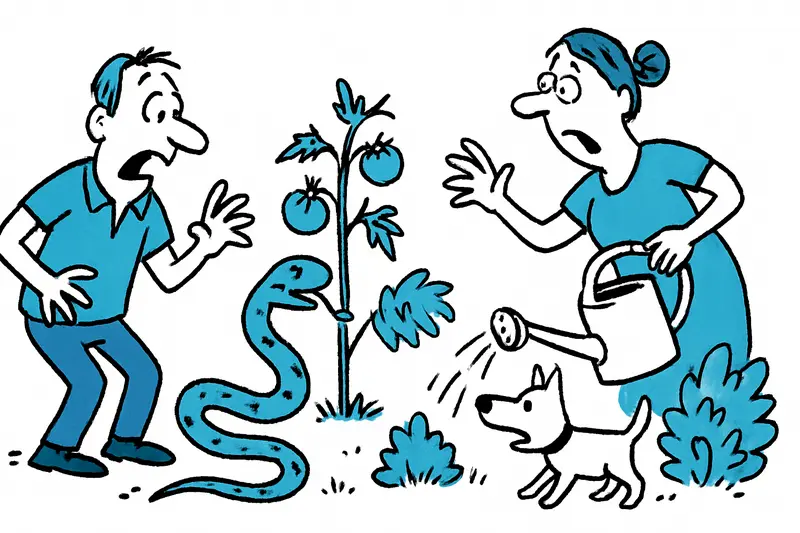
When the Snakes Come: A Reality Check for the Islands
Residents on Mallorca and the neighboring islands report increased snake sightings. A critical assessment: why the probl...
Finca owners demand answers: Who is liable for lost deposits in Mallorca?
Numerous German finca owners say they made large deposits to a well-known craft company in Campos — and now find themsel...

When Every Fourth Apartment Goes to Foreigners: Mallorca Between Investment and Living Space
The Spanish central bank reports: in 2025 every fourth buyer in the Balearic Islands had no residence in Spain. On the s...

Why the Reggaeton Beach Festival Halted the 2026 Tour — a Reality Check for Mallorca
The entire Reggaeton Beach Festival 2026 tour was cancelled. What does this mean for organizers, crews and island touris...
More to explore
Discover more interesting content

Boat Tour with BBQ along Es Trenc Beach

Private transfer from Mallorca Airport (PMI) to Pollensa
