Cap Pinar in Alcudia: Dispute over Military Expansion Hits Everyday Life and Landscape
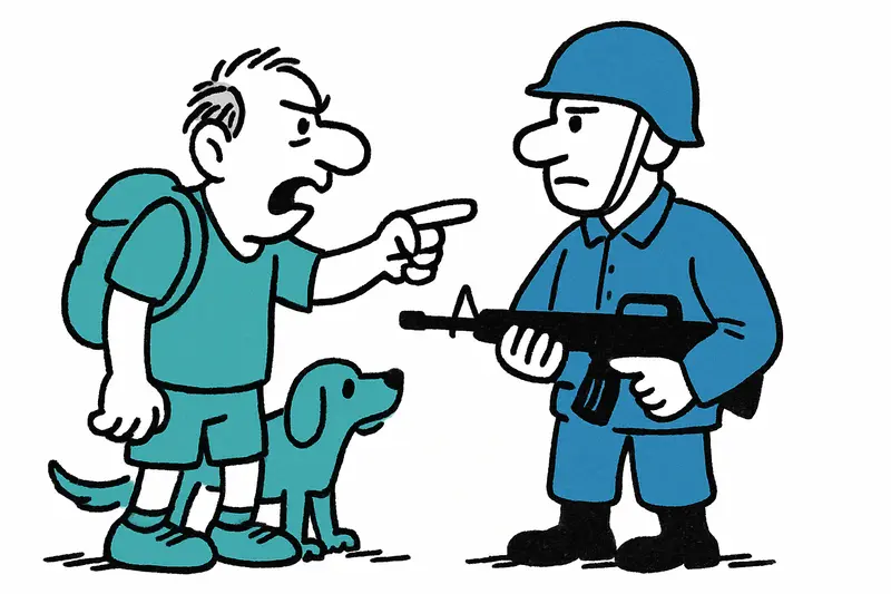
Plans by the Ministry of Defence to expand the training area at the northern Cap Pinar by almost 145 hectares are causing unrest in Alcúdia. It's about more than closed paths – it's about quality of life, agriculture and coastal sanctuaries.
Who is still allowed to walk, jog and smell the pines? The Cap Pinar expansion raises questions
At the northern tip of Alcudia, where the wind often carries the scent of pine resin and the waves softly hit the rocks, tensions have noticeably increased in recent days. The Ministry of Defence has presented plans to extend the existing training area at Cap Pinar by almost 145 hectares. The central question is not only: does the military need more space? But: at whose expense should this happen?
More than land on paper: everyday life and use are affected
The proposed expansion would place popular footpaths, coastal access points and areas used by farmers and hunters into a militarised zone. For morning dog walkers, cyclists and families on Sundays, this is a tangible cut. From the harbour cafés you hear sentences like: "The Ruta is part of our weekend." At the same time, farmers fear for access to their fields and olive groves. The Alcúdia town hall has already announced an objection to the expansion – a sign that more is at stake here than a formal intervention.
What is often overlooked
Several important aspects have so far been missing from the public debate. First: water and soil. The dry slopes at Cap Pinar are sensitive; new developments can cause erosion, altered drainage and thereby problems for neighbouring fields. Second: nature and night-time tranquillity. Noise from exercises, as well as light and the frequency of flights, can disturb breeding sites and also the peace of snorkelers and divers. Third: legal and historical questions of ownership – some paths are old routes used by families for generations; their legal status is often more complicated than maps suggest.
Concrete concerns from the village
Those who are on the beach with their dog at seven in the morning fear temporary closures or loud exercises; those who harvest olives worry about logistics. A hunter who prefers to remain anonymous sums it up: "We need rules, but no encroachment on livelihoods." And in small taverns at the harbour, between the smell of coffee and the soft cries of seagulls, it becomes clear: it is also about identity – about places where families picnic or young people make their first coastal outings.
How the conflict could be resolved sensibly
A simple "military yes or no" is too short-sighted. A more pragmatic, transparent process with concrete guardrails would be better:
- Environmental and water assessments: Before land is reclassified, erosion risks, water availability and biodiversity must be examined. That creates facts instead of speculation.
- Time-limited closures: Exercises could take place outside the high season or on clearly defined days so that tourism and local recreation are only minimally affected.
- Precise mapping of old paths: Historical routes should be recognised and, if necessary, diverted, marked and legally protected.
- Local steering committee: A panel including the municipality, residents, farmers, conservationists and the military could plan operations, ensure transparency and react quickly to problems.
- Compensation and access arrangements: Affected farmers or users could be offered compensation payments and guaranteed access times.
Better dialogue instead of back-office decisions
The objection procedure is formally underway – that gives time. Environmental studies, open maps and moderated discussions would be sensible now. Too often such conflicts end in long legal battles; here a model with clear, practically tested compromises would be useful: GPS-based temporary closure zones instead of permanent exclusion areas, low-noise exercise scenarios, and fixed information channels for the public.
Those who live at Cap Pinar or spend their Sundays there understand security interests. But the mood is clear: outdoor life, the small paths, the resting places under the pines – these belong to the island. It is time that these voices count not only in cafés and public meetings, but in binding agreements with the military.
In the short term: stay informed about announcements from the municipality. And if you have an opinion: speak up at the next public meeting. Decisions made here will shape everyday life at Cap Pinar for decades.
Frequently asked questions
What is happening at Cap Pinar in Alcúdia?
Can you still walk or jog at Cap Pinar in Mallorca?
Why are locals in Alcúdia opposing the Cap Pinar expansion?
How could military exercises at Cap Pinar affect nature and the landscape?
What should visitors know before going to Cap Pinar in Alcúdia?
Does the Cap Pinar plan affect farmers and olive groves in Alcúdia?
What is the role of the Alcúdia town hall in the Cap Pinar dispute?
Could the Cap Pinar conflict be resolved without closing the area completely?
Similar News
When the 'Rising Sun' Anchors off Mallorca: Luxury, Privacy — and Uncomfortable Questions
The 130-meter yacht 'Rising Sun' is once again visible off Mallorca. Guests like Oprah Winfrey and Kris Jenner enjoy pri...
Yellow Flag, Whistles, Silence: A Bathing Accident in Cala Domingos Petit
A roughly 70-year-old German holidaymaker died after ignoring the yellow warning flag in Cala Domingos Petit. An analysi...
How did the 15-year-old get from Ibiza to Palma? A reality check on the missing-person report
A 15-year-old German girl was found safe in the port of Palma a few hours after a missing-person report on Ibiza. The qu...
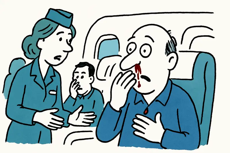
Nosebleeds Above the Clouds: Pressure Problem on Palma–Copenhagen Flight – How Safe Are We On Board?
On a flight from Palma to Copenhagen the aircraft made a safety stop in Hamburg due to cabin pressure problems. Several ...
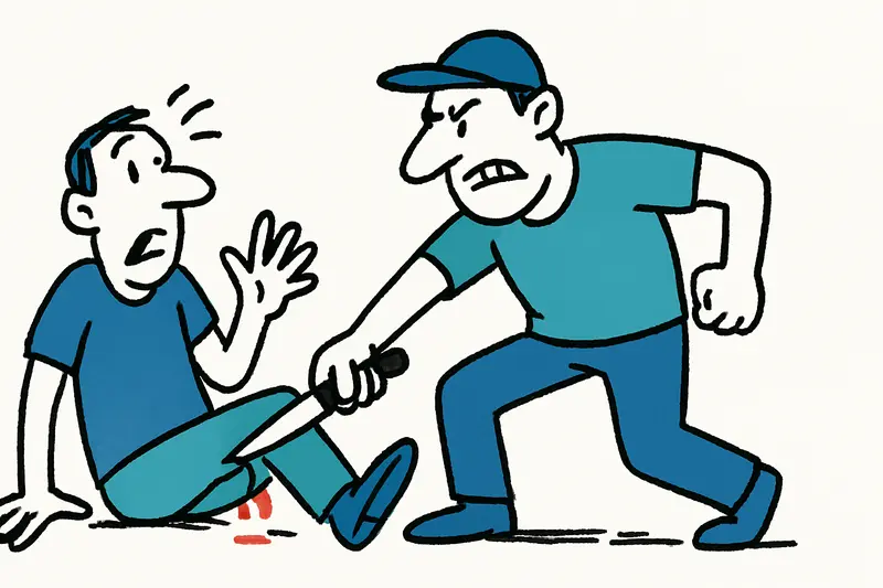
Working-hours dispute at Playa de Palma ends in stabbing — What the discourse is missing
A dispute over 14–16-hour shifts at Playa de Palma escalated: a cook was seriously wounded in the knee and the owner arr...
More to explore
Discover more interesting content

Boat Tour with BBQ along Es Trenc Beach

Private transfer from Mallorca Airport (PMI) to Pollensa
