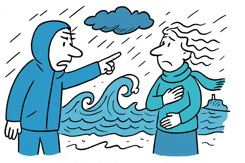
Storm warning on the coast: Ten-meter waves and freezing nights in Mallorca
A cold front brings strong north winds, gusty conditions and locally meter-high swells — especially along the island's north and northeast coasts caution is advised.
Pick up, pack away, stay off the beach
This morning I was briefly on the Passeig Marítim — bags in hand, the wind tugged at my umbrella — and I immediately thought: Beach walk? Definitely not. A new cold front is moving across the island, and weather warnings are now in effect through Thursday, 27 November. The strongest gusts are expected in the north and northeast, where winds can locally increase to 70–80 km/h.
What is happening on the coast
The sea will be rough. Boats should stay ashore or be securely moored — waves are expected in places to reach up to ten meters. Those who live near marinas or promenades may already have heard the first agitated surf sounds. For freighters and ferry services this often means restrictions: schedules could be disrupted.
Wet, cold and occasionally dangerous
The cold front also brings showers, at times thunderstorms and isolated hail. Especially on Tuesday and Wednesday, heavier showers are possible in the north; in the south the sun will occasionally reappear. The snow line will temporarily drop to around 1,000 meters, so the Tramuntana mountains could get white peaks.
Daytime highs on the island will mostly be between 15 and 18 °C, sometimes lower. Nights will be noticeably colder: with values between 2 and 9 °C nights are below the long-term average. For Palma, only around 3 °C is forecast for the night from Tuesday to Wednesday — don't forget your jacket.
Where to be cautious
Orange and yellow warning levels apply especially to coastal sections in the north and northeast; see Storm Alert: Orange Warning for North and Northeast — What Mallorca Residents Should Know Now and Yellow Warning on the North Coast: Wind, Waves — and What We Should Really Pay Attention To for specific guidance. Keep children away from steep waves, keep dogs on a leash — and watch out for falling branches if you park under trees.
The current forecast comes from Storm warning in Mallorca: Is the island prepared for wind and rain?; local adjustments are possible, so keep an eye out: radios, weather apps or municipal announcements provide hourly updates.
Improvement in sight — slowly
From Friday the gusts should ease and light sunshine return. It will become a bit milder, but frosty nights will still be possible in sheltered valleys. Until then: avoid unnecessary car trips during strong gusts, secure loose objects and take the situation on the coast seriously. I'm going to put away my balcony chairs anyway — the wind here almost blew one chair onto the street this morning.
Stay cautious — and look twice before heading to the coast.
Frequently asked questions
How bad is the storm in Mallorca this week?
Is it safe to go to the beach in Mallorca during the storm?
What temperatures should I expect in Mallorca during the cold front?
Will it rain or thunder in Mallorca this week?
Is the sea rough in Mallorca and can ferries be affected?
What should I do if I live near the coast in Mallorca?
Could the Tramuntana mountains in Mallorca see snow?
When will the weather improve in Mallorca?
Similar News

Bullfighter in Palma injured: An incident, many open questions
Morante de la Puebla was injured in the hand during an estocada in Palma and was treated in the arena. The incident rais...

Filming with your phone at the gate and onboard: Who's allowed, who forbids it — and why it can catch many Mallorca travelers off guard
Airport atmosphere, selfies at the gate, shots from the window – many people just do it. But some airlines draw clear bo...
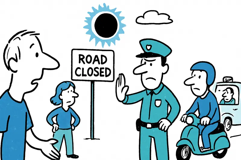
Solar eclipse on August 12: Roads closed — but for whom?
The regional government is expanding access restrictions for the total solar eclipse — they now also apply to motorcycle...

Universal Beach Hotels: Report shows measurable steps towards a greener Mallorca
The Mallorca–Swiss hotel group publishes its 2025 sustainability report: less CO2 per stay, millions of liters less wate...
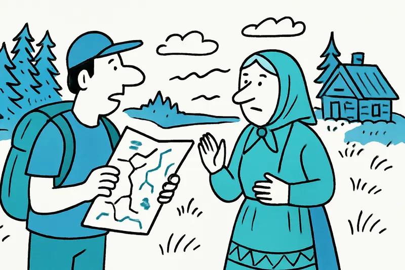
Estonia beyond Tallinn: Seven quiet discoveries for Mallorcans
Wild bogs, small islands, a lively university town: Seven places in Estonia worth visiting when you leave the capital be...
More to explore
Discover more interesting content

Boat Tour with BBQ along Es Trenc Beach

Private transfer from Mallorca Airport (PMI) to Pollensa
