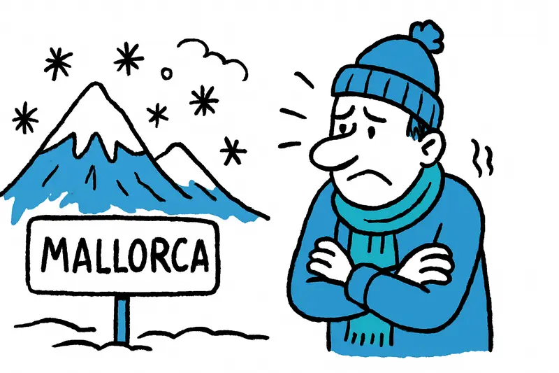
Temperature Drop: Short Winter Interlude in the Tramuntana
A sharp temperature fall brings cooler air and even flakes around 800 m in the Tramuntana. What to expect in Mallorca now and how best to prepare.
Suddenly cooler: Mallorca feels the northwesterly wind
Early this morning at the port of Palma the air smelled different: salty, fresh and cut by a stiff northwesterly breeze. Anyone walking along the Plaça de España today heard the clinking of cups from cafés louder than usual – and saw kiosk owners rearranging their entrances a bit. Meteorologists are announcing a marked temperature drop that will noticeably cool the island over the coming days, as discussed in Cold snap in Mallorca: Is the island really prepared?.
When will the cold arrive?
The coldest phase is expected to be Friday and Saturday. Forecasts for Palma predict daytime highs between about 10 and 14 degrees Celsius – depending on how hard the wind blows and how often the sun breaks through; more details are in Severe weather in Mallorca: Wind, rain and a brief temperature drop – what matters now. After warm weeks this will feel much colder quickly, especially in the morning and evening hours, when the streetlights are still flickering and the alleys steam.
Snow at altitude – but only briefly
The snow line is expected to drop to around 800 metres. That means: along the coast there will be wind, showers and cooler temperatures, but in the Serra de Tramuntana – for example at the Coll de Sóller or around the Puig Major – a few snowflakes could dance. Not a big winter wonderland, rather a surprising hint of mountain weather that changes the rugged silhouettes of the peaks for a few hours; see Mallorca Prepares for Snow: Is the Tramuntana Ready for Winter Operations? for local context.
What does this mean for daily life?
Daily life in Mallorca will not be turned upside down. Schools remain open, buses run, and the weekly markets are still a stop on the shopping list. However, those planning hikes or bike rides at higher elevations this weekend should reconsider their routes. On narrow country roads wet tarmac can become slippery quickly, patches of fog and stronger gusts reduce visibility – this is known here, but it’s worth taking seriously; infrastructure implications are explained in New Rain and Snow Front on Mallorca: What Does It Mean for Daily Life and Infrastructure?.
Practical tips from the neighbourhood
A few pieces of advice from conversations at the Plaça: check wipers and antifreeze in your car, wear several thin layers rather than one thick coat and plan errands for the morning before the wind picks up in the afternoon. I met a kiosk vendor who dryly said: "We’re moving the winter jackets to the front now – people will come soon." A small everyday detail that shows how quickly habits adapt.
What’s still good
A temperature drop also has positive sides: rain in the mountains fills small reservoirs and supports vegetation after dry periods. Restaurants and cafés offering hot chocolate or stews see a little upswing. And for photographers or walkers the brief interplay of sun, clouds and perhaps a few snowflakes creates a special atmosphere – the sea remains blue, the mountains reveal a new, rougher side.
The cool spell is not expected to last long: mild air should return from mid next week. Until then the old advice applies: keep an eye on webcams, check routes and enjoy the unusual weather with a bit of composure. A thick scarf, a steaming cup and a walk at the quiet morning harbour can bring more joy on days like these than you might expect.
Frequently asked questions
When will the coldest weather hit Mallorca?
How cold does Mallorca get during a winter front?
Can it snow in Mallorca in winter?
Is it still worth going to the beach in Mallorca when it gets colder?
What should I pack for a chilly weekend in Mallorca?
Is it safe to drive in the Tramuntana during a cold front?
What is the weather like in Palma during a cold snap?
Will the cold weather in Mallorca last long?
Similar News
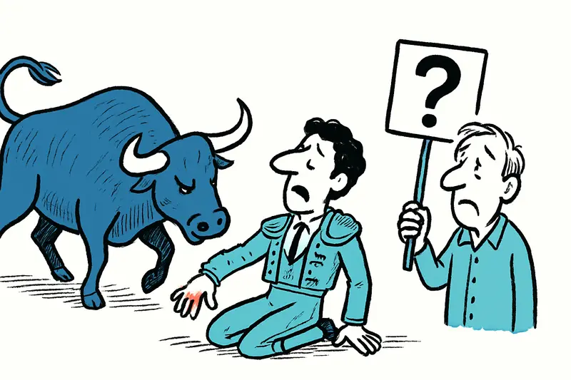
Bullfighter in Palma injured: An incident, many open questions
Morante de la Puebla was injured in the hand during an estocada in Palma and was treated in the arena. The incident rais...
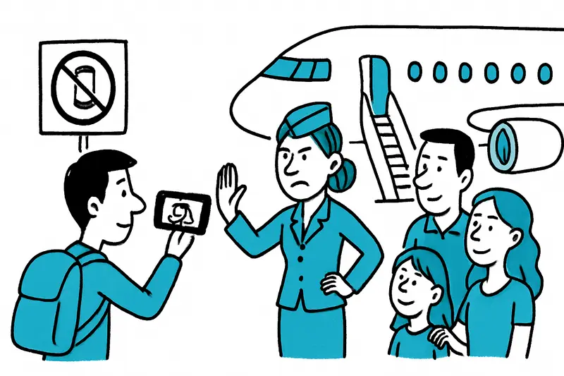
Filming with your phone at the gate and onboard: Who's allowed, who forbids it — and why it can catch many Mallorca travelers off guard
Airport atmosphere, selfies at the gate, shots from the window – many people just do it. But some airlines draw clear bo...
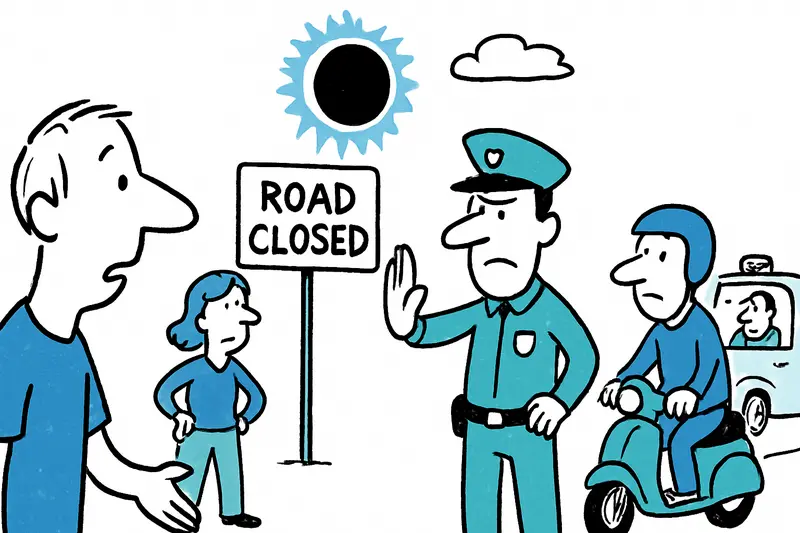
Solar eclipse on August 12: Roads closed — but for whom?
The regional government is expanding access restrictions for the total solar eclipse — they now also apply to motorcycle...
Universal Beach Hotels: Report shows measurable steps towards a greener Mallorca
The Mallorca–Swiss hotel group publishes its 2025 sustainability report: less CO2 per stay, millions of liters less wate...
Estonia beyond Tallinn: Seven quiet discoveries for Mallorcans
Wild bogs, small islands, a lively university town: Seven places in Estonia worth visiting when you leave the capital be...
More to explore
Discover more interesting content

Boat Tour with BBQ along Es Trenc Beach

Private transfer from Mallorca Airport (PMI) to Pollensa
