Storm, Rain, Maybe Snow: How Well Is Mallorca Prepared for the November Low?
An Atlantic low will bring wind, showers and even snow at mid-levels in the Serra. Why the warning is more than just a weather note — and what residents, tourism and authorities should do now.
Storm approaches — and with it questions about Mallorca's preparedness
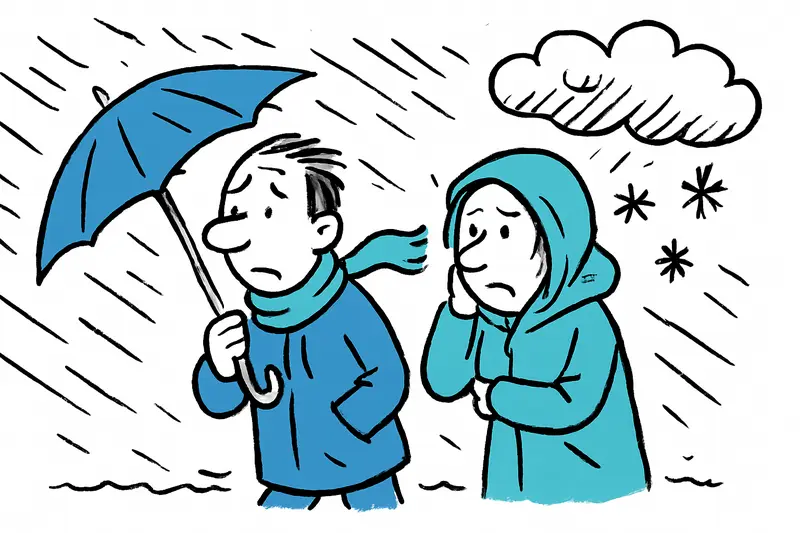
On Saturday Palma smelled of wet streets and cold sea wind: the first harbinger of an Atlantic low that will make the island restless from Sunday. Between about 7 and 14 o'clock there is an official warning for the west, south and east. Gusts, heavy showers and isolated thunderstorms are possible. The central question is: how well is Mallorca really prepared — not just meteorologically, but organizationally? Coverage such as Tormenta, lluvia y quizá nieve: ¿Qué tan preparada está Mallorca para la borrasca de noviembre? discusses similar concerns.
What the warning concretely means
Authorities talk about a short but intense weather window on Sunday morning. Anyone moving along the coast during this period — on the Passeig Marítim or on narrow coastal roads — should expect gusts that whistle over balustrades and can send small objects flying. For short commuter rides this means: drive slower, keep distance and expect longer travel times. For port towns it means: check moorings and securely tie up small boats, as described in Storm Alert: Is Mallorca Prepared for the Deluge? for expected rainfall impacts.
A look at higher elevations: snow moves closer to the island
Unusual for many, but not new: the snow line will drop significantly in the coming days. Models show about 1,400 meters for Wednesday, and by Friday the line could fall to around 700 meters. This has practical consequences for the Serra de Tramuntana — around the Puig Major there may be sleet or even snow. Not a ski holiday, but white summits and noticeably slippery stretches on mountain roads, a pattern noted in New Storm Front on Mallorca: How Prepared Are the Island and Its People?.
What is often not discussed enough
In public discussion, side issues are often left out: How stable are supply lines during strong winds? Do elderly residents in villages like Sóller or Orient have sufficient support if roads are closed at short notice? Agriculture — especially olive trees and late grape harvests — can be hit hard by wind and rain. And small shipping companies are now checking whether they need to reduce ferry connections — with direct consequences for commuters and day-trippers, as highlighted in Storm warning in Mallorca: Is the island prepared for wind and rain?.
Concrete risks for everyday life and tourism
In practical terms this means: crossings through the Tramuntana will take longer, parking spaces at the Coll de Sóller fill up quickly with any weather change, and hiking trails become slippery. Ferries can become rough or be canceled in stronger winds — an issue for holidaymakers but also for supply chains to smaller ports. Event planners should quickly check whether markets, open-air concerts or wine festivals can safely go ahead.
Approaches to solutions — what would help now
Some concrete measures could mitigate the impacts: increased gritting and clearing capacity for mountain roads, additional information loops from municipalities (local WhatsApp groups, notices in villages), coordinated harbor warnings for boat owners and flexible ferry timetables, as discussed in Yellow Storm Warning: How Well Is Mallorca Prepared for Heavy Rain?. It is also important to reach citizens: older people need contact points, farmers need short-term advice on securing crops.
Tips for the coming days
Those who are out and about in the next few days should follow practical rules: bring an umbrella and non-slip shoes, allow extra time, secure luggage and terrace furniture. If mountain tours are planned: postpone. And if you don't have one yet — enjoy your hot café con leche inside while the wind rustles the plane trees along the Passeig Marítim and the spray slams against quay walls in small harbors.
Outlook
Models promise milder air masses again from 24 November. The cold intermezzo should therefore be temporary. Still, now is the time to review local procedures: refresh emergency plans, test communications and keep a close eye on particularly vulnerable areas such as mountain roads and small ports. A short storm can quickly leave visible traces on an island like ours — sometimes it's only wet streets and white summits, sometimes it becomes clear where preparations still need improvement.
Weather forecasts can change at short notice. Observe morning warnings from authorities — for the safety of people and the island's infrastructure.
Frequently asked questions
Is Mallorca likely to get storms and heavy rain this weekend?
What should I know if I’m driving in Mallorca during windy weather?
Will it snow in Mallorca’s mountains soon?
Is it safe to hike in the Tramuntana during stormy weather?
Could ferries to and from Mallorca be affected by strong winds?
What should boat owners in Mallorca do before a storm?
How should I prepare for a rainy day in Mallorca?
Which parts of Mallorca need extra caution during a storm?
Similar News

Arrest after alleged rape at Ballermann – A reality check
An 18-year-old German was arrested after an incident in El Arenal and later released by the judge. Why do questions abou...
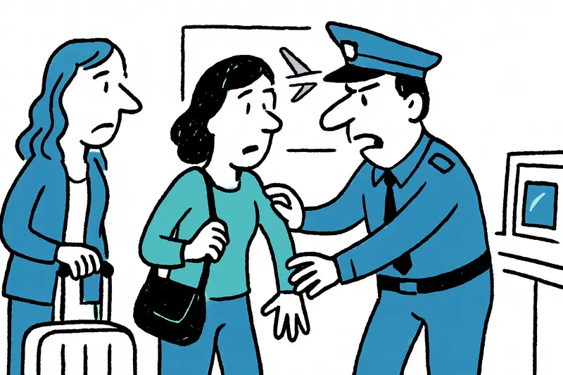
Mind‑boggling: Traveling Theft Gangs at Palma Airport – What’s Behind the Wave?
Four suspected members of traveling theft groups were arrested at Palma Airport. The operation exposes weaknesses: why d...

Raid in Campanet: How a Network of Illegal Cockfights on Mallorca Was Uncovered
On a remote finca in Campanet the Guardia Civil discovered hundreds of fighting cocks, more than 70 injured animals and ...
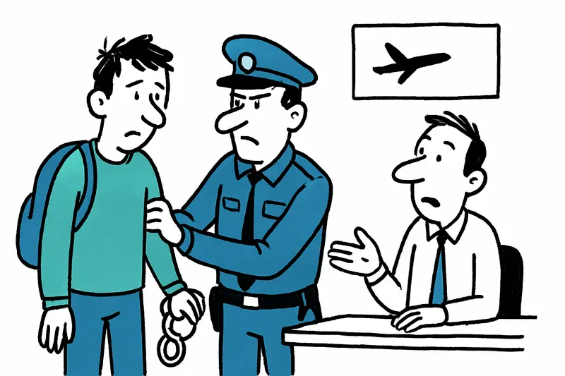
Departure Prevented — Airport Arrest Raises Questions About Checks and Prevention
A 21-year-old was arrested at Düsseldorf Airport shortly before his flight to Mallorca after an arrest warrant for fraud...
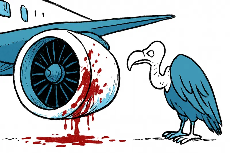
Bloodstains on the Engine: What the Vulture Crash Reveals About Our Aviation Safety
A Ryanair flight from Madrid to Milan turned back after a Boeing 737-800 struck a vulture during climb. Key question: Ar...
More to explore
Discover more interesting content

Boat Tour with BBQ along Es Trenc Beach

Private transfer from Mallorca Airport (PMI) to Pollensa
